Sequoia National Park Trails

Wild Wanderers Almanac

Sequoia National Park Trails

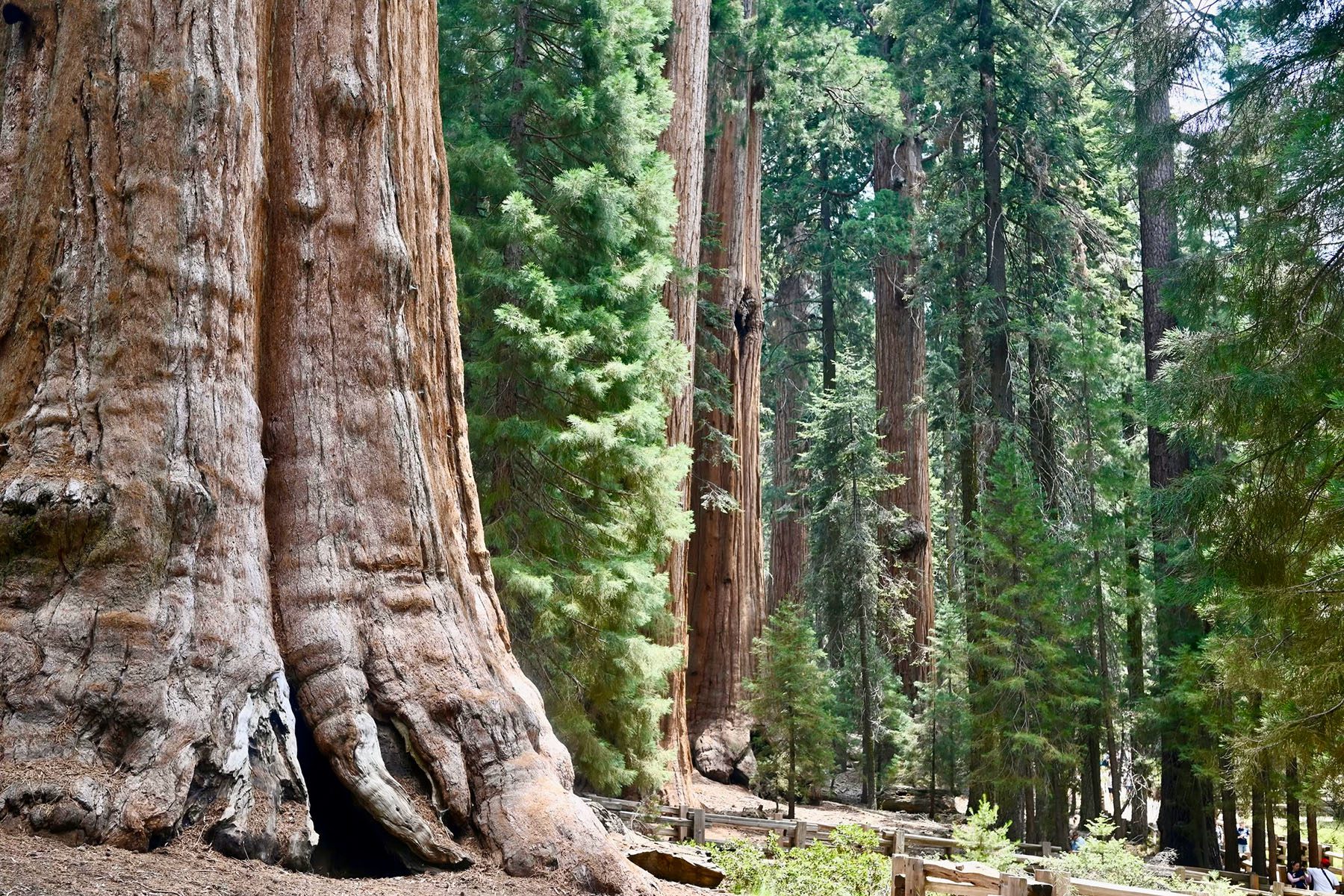
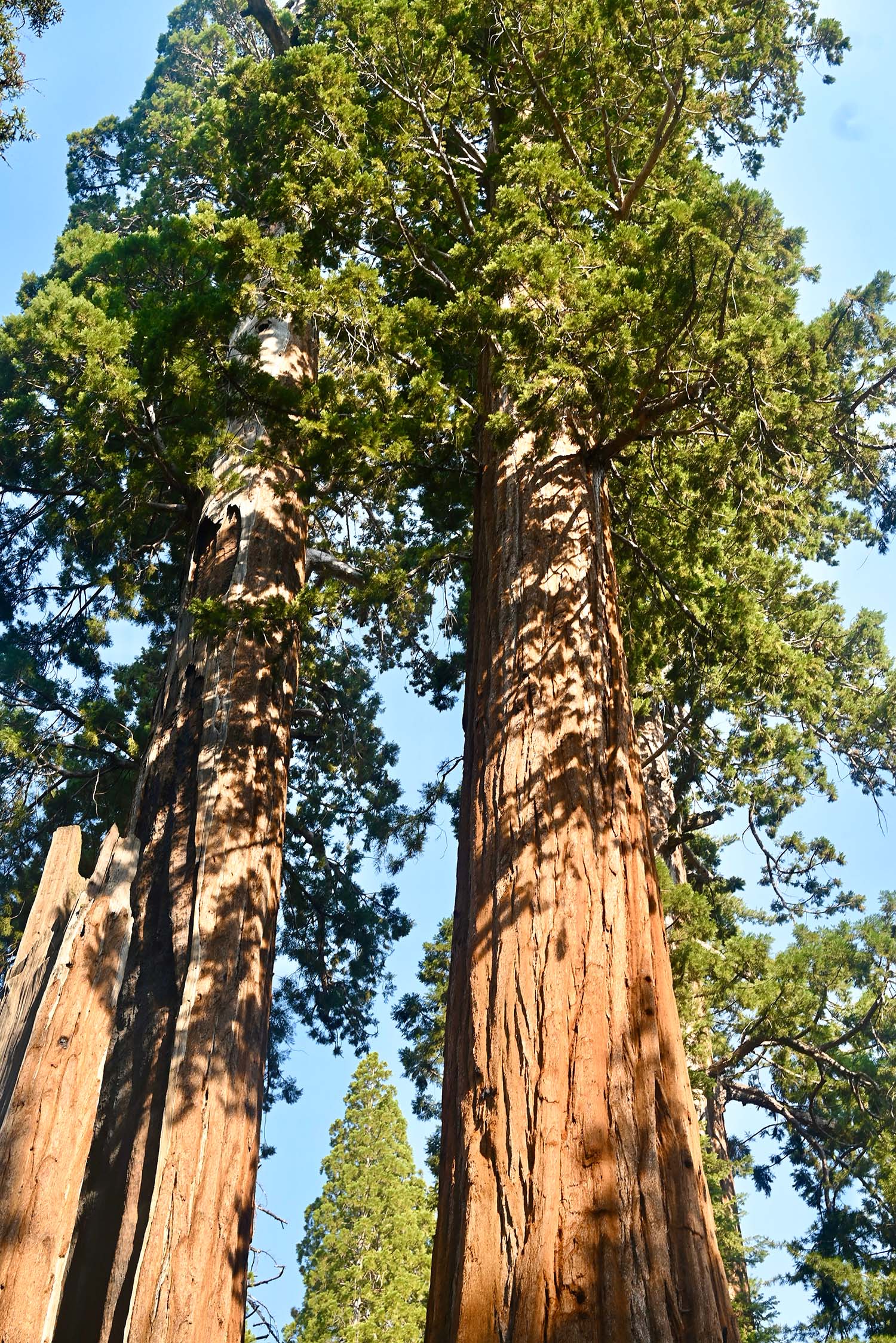
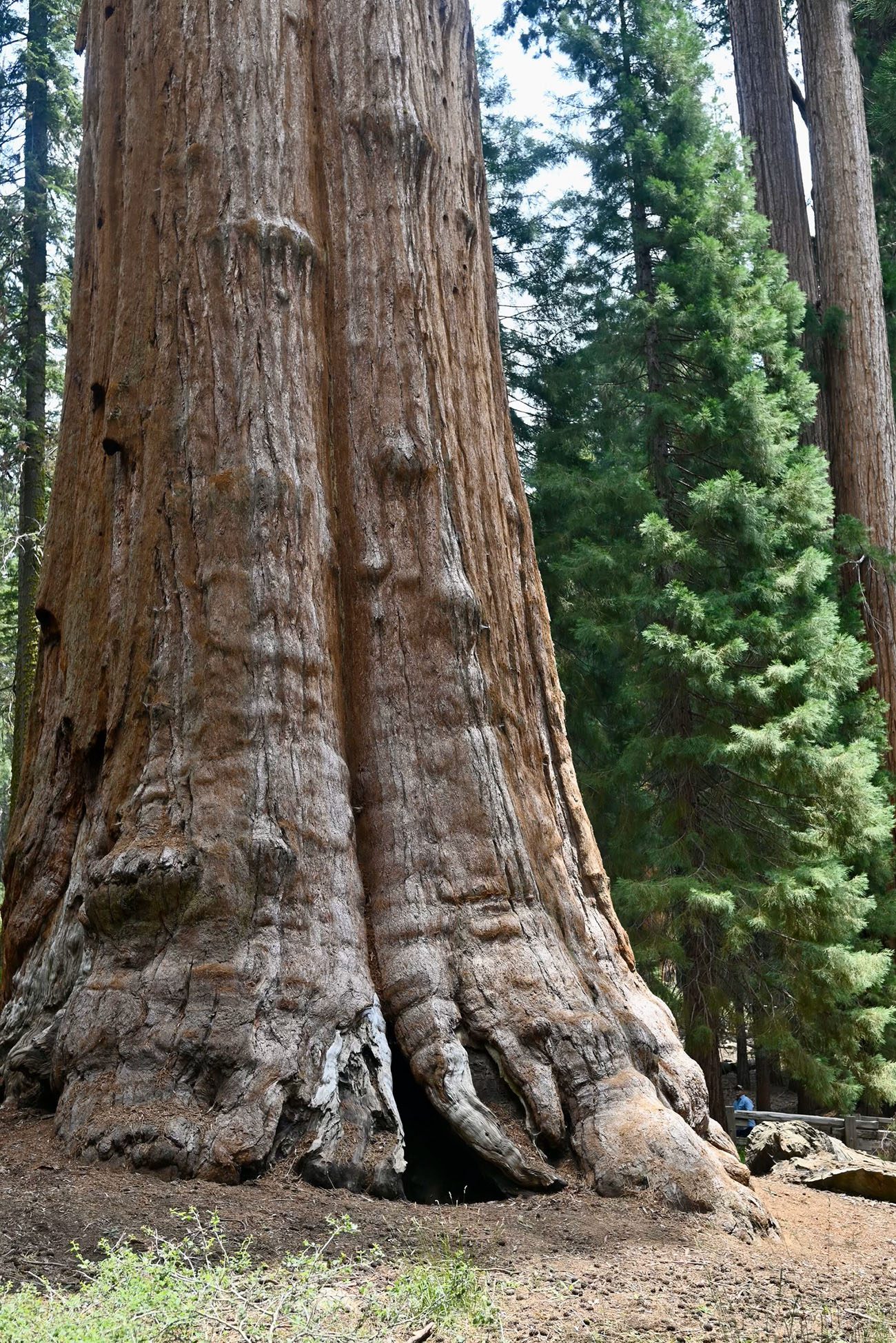
Sequoia National Park, located in California’s southern Sierra Nevada mountains, is a land of towering trees, rugged mountain landscapes, and breathtaking views. Here are some Sequoia National Park Trails.
Sequoia National Park Trails

Sequoia National Park

Here’s a look at some Sequoia National Park Trails, where you can experience the park’s majestic beauty. It’s home to some of the largest trees on Earth, the giant sequoias, and offers a diverse range of hiking trails that suit every adventurer, from casual walkers to seasoned trekkers.


Sequoia National Park is a treasure trove of hiking opportunities, from easy walks among the giant sequoias to strenuous mountain treks with rewarding views. Whether you’re a nature lover seeking a peaceful day hike or an adventurer looking for a challenging trail, Sequoia has something for everyone. With each step, you’ll be immersed in the awe-inspiring beauty of one of America’s most iconic national parks.

Exploring Sequoia National Park: Best Hiking Trails for Every Adventurer

Moro Rock Trail
  • Distance: 0.5 miles (round trip)
  • Difficulty: Moderate
  • Elevation Gain: 300 feet

For a short but thrilling hike, the Moro Rock Trail is a must. This steep, stone stairway takes you to the top of a massive granite dome, offering panoramic views of the Sierra Nevada mountains and the valley below. While it’s only half a mile long, the stairs and elevation gain make it moderately challenging. The payoff is unbeatable—a bird’s-eye view of the park’s stunning natural beauty.

Congress Trail
  • Distance: 2 miles (loop)
  • Difficulty: Easy

If you want to get up close and personal with Sequoia’s towering giants, the Congress Trail is ideal. Starting near the General Sherman Tree (the world’s largest tree by volume), this gentle loop winds through a forest of ancient sequoias. Along the way, you’ll encounter iconic trees like the “President,” “Senate,” and “House” trees. It’s a peaceful and awe-inspiring hike that’s suitable for families and hikers of all levels.

Tokopah Falls Trail
  • Distance: 4 miles (round trip)
  • Difficulty: Easy to Moderate
  • Elevation Gain: 600 feet

The Tokopah Falls Trail is a stunning riverside hike that leads to the 1,200-foot-high Tokopah Falls. The trail follows the Marble Fork of the Kaweah River, offering beautiful views of granite cliffs and forested valleys. The waterfall is at its most impressive in late spring and early summer when the snowmelt is at its peak. It’s an accessible hike that provides plenty of scenery without being too strenuous.

Alta Peak Trail
  • Distance: 13.6 miles (round trip)
  • Difficulty: Strenuous
  • Elevation Gain: 4,500 feet

For those seeking a challenge, the Alta Peak Trail is one of the most rewarding hikes in Sequoia National Park. The trail climbs steadily through forests and alpine meadows before reaching the summit at 11,204 feet. From the top, you’ll be rewarded with sweeping views of the Great Western Divide and the surrounding wilderness. This hike is not for the faint of heart, but experienced hikers will find it an unforgettable adventure.

Lakes Trail to Pear Lake
  • Distance: 12.4 miles (round trip)
  • Difficulty: Moderate to Strenuous
  • Elevation Gain: 2,700 feet

The Lakes Trail is a scenic trek that takes you past beautiful alpine lakes, culminating at the crystal-clear Pear Lake. Along the way, you’ll pass Heather Lake, Emerald Lake, and Aster Lake, each surrounded by rugged peaks. The trail offers a variety of landscapes, from lush forests to rocky terrain, and is perfect for those who want a longer day hike with rewarding views. It’s also a popular spot for overnight backpacking.

Big Trees Trail
  • Distance: 1.2 miles (loop)
  • Difficulty: Easy

For an easy, family-friendly hike, the Big Trees Trail is perfect. This short loop circles a serene meadow surrounded by giant sequoias. The trail features educational signs about the ecology of the sequoia groves and the importance of meadows in the park’s ecosystem. It’s a leisurely walk that provides an opportunity to appreciate the beauty of these ancient trees up close.

Tips for Hiking in Sequoia National Park:

  • Plan ahead: Check trail conditions, especially in the spring and early summer when snow may still cover higher elevations.
  • Stay hydrated: Carry plenty of water, especially on longer hikes.
  • Be bear aware: Sequoia is home to black bears, so make sure to follow bear safety guidelines and store food properly.
  • Dress in layers: Weather can change quickly in the mountains, so it’s important to be prepared for both warm days and chilly nights.
  • Get a permit: For overnight trips, wilderness permits are required. Make sure to plan ahead if you’re looking to camp or backpack.

Best Hikes in Zion National Park

Wild Wanderers Almanac

The Best Hikes in Zion National Park

Whether you’re seeking a peaceful nature walk or an adrenaline-pumping ascent, Zion has something for everyone. Here’s a guide to the best hikes in Zion National Park.

the best hikes in zion national park
The Best Hikes in Zion National Park

Zion National Park

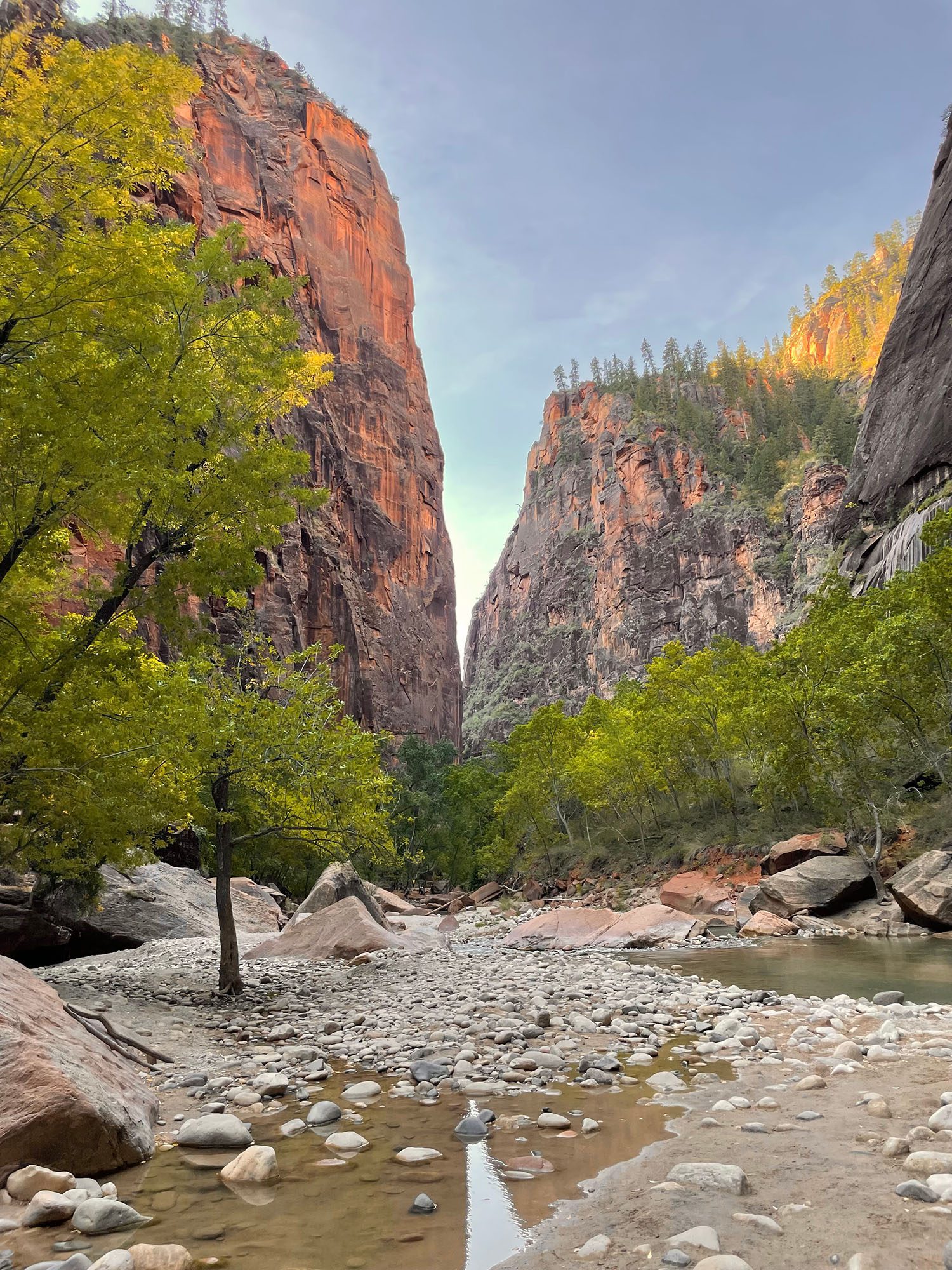
Zion National Park is a paradise for hikers, offering some of the most scenic and exhilarating trails in the world. With its towering sandstone cliffs, emerald pools, and sweeping canyon views, Zion provides an unforgettable experience for adventurers of all levels.


Zion National Park is a hiker’s dream, offering a diverse range of trails that showcase the park’s stunning natural beauty. Whether you’re tackling the heights of Angels Landing or wading through the Narrows, each trail provides a unique way to experience Zion’s landscapes. Make sure to respect the park, stay safe, and take in every breathtaking moment on your journey through one of America’s most iconic national parks.

The Best Hikes in Zion National Park: A Journey Through Nature’s Masterpiece

Angels Landing
  • Distance: 5.4 miles round trip
  • Difficulty: Strenuous
  • Elevation Gain: 1,488 feet
  • Trailhead: The Grotto

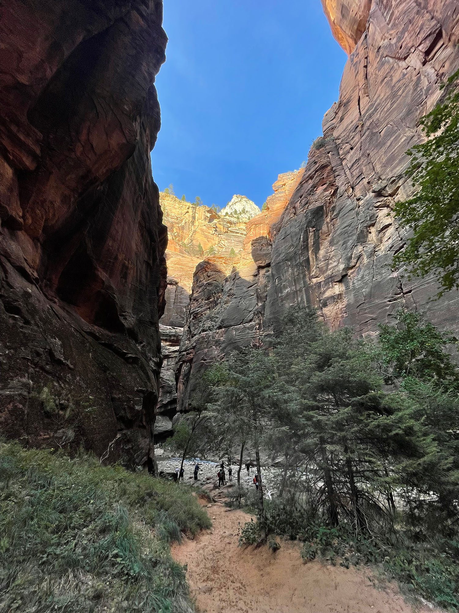
One of Zion’s most famous and thrilling hikes, Angels Landing is not for the faint of heart. The hike begins with a steady ascent along the West Rim Trail, winding through Refrigerator Canyon before reaching the challenging switchbacks known as Walter’s Wiggles. Once you reach Scout Lookout, the real adventure begins.

From Scout Lookout, the final half-mile section involves a heart-pounding, narrow ridge with sheer drop-offs on both sides, guided by chains bolted into the rock for safety. The reward at the summit is one of the most spectacular panoramic views in Zion Canyon, with a 360-degree vista of the surrounding cliffs and the Virgin River below.

The Narrows
  • Distance: Up to 9.4 miles round trip (can vary)
  • Difficulty: Moderate to Strenuous (depending on water levels)
  • Trailhead: Temple of Sinawava

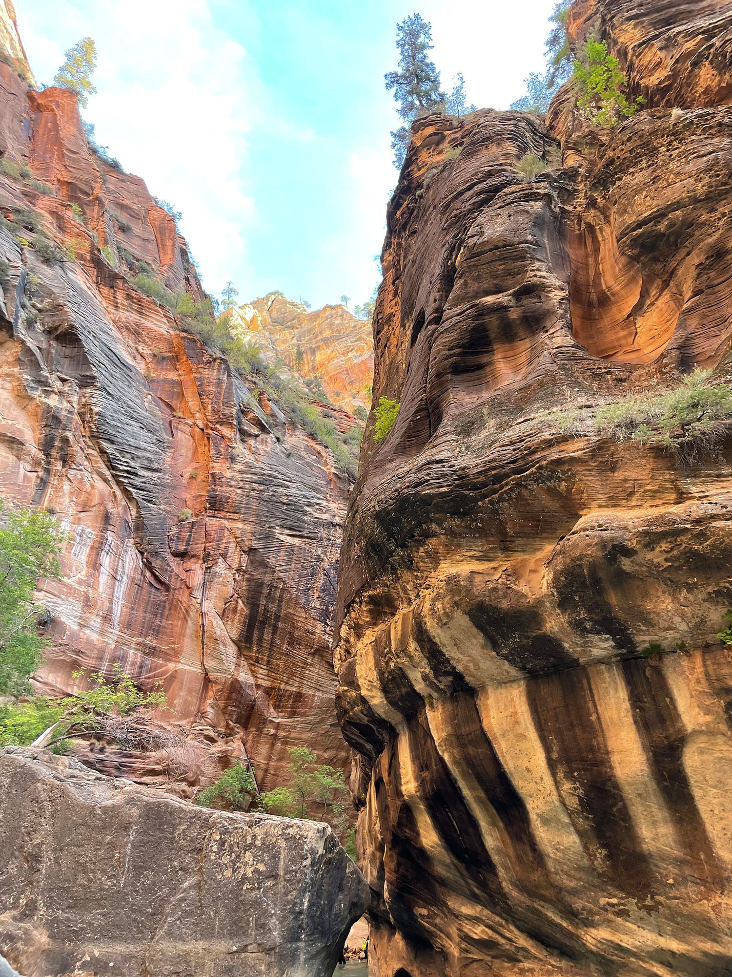
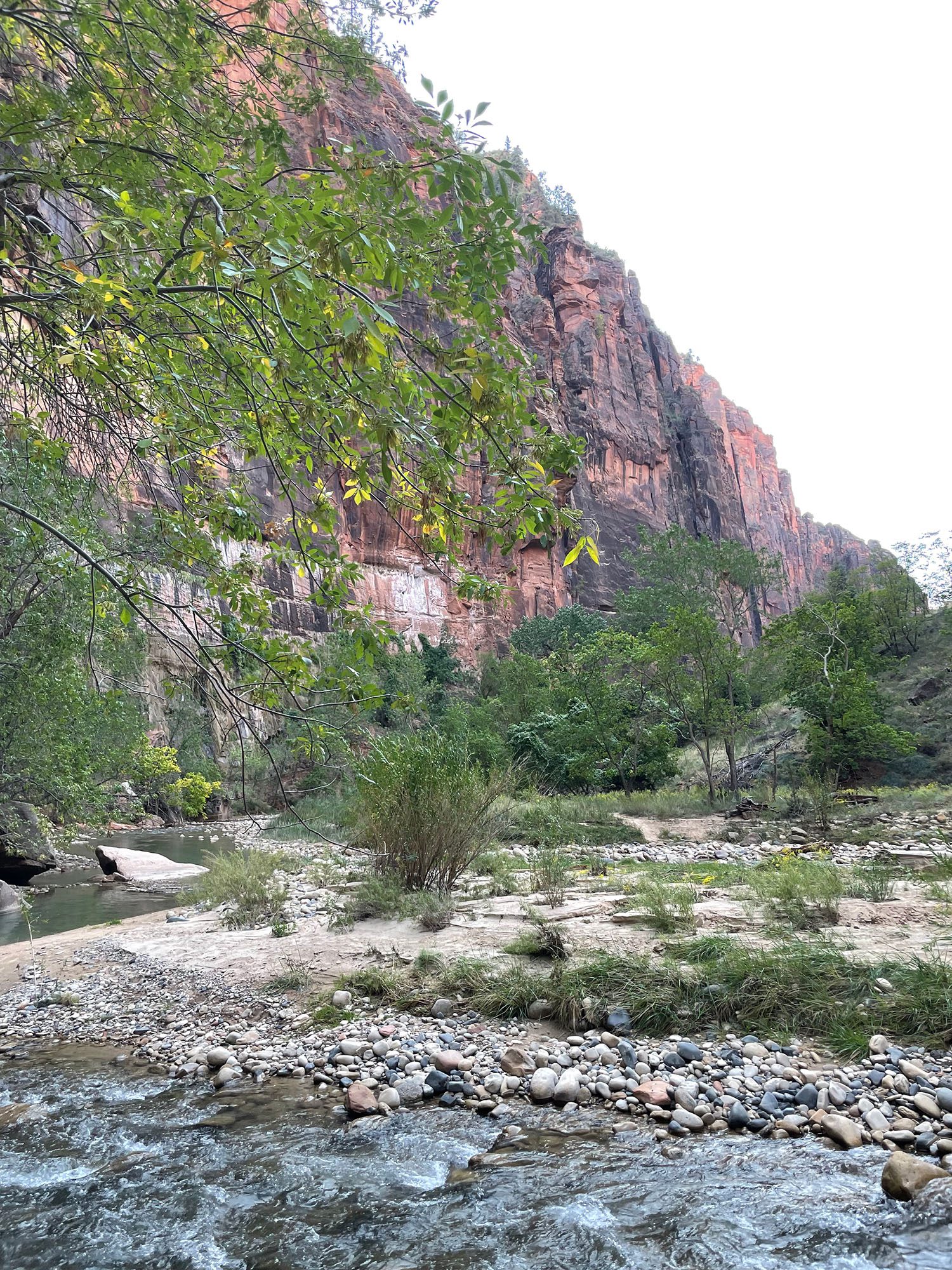
The Narrows is one of Zion’s most iconic and unique hikes, offering a completely different hiking experience as much of the trail involves wading through the Virgin River. The towering canyon walls, sometimes only 20-30 feet apart, rise dramatically above you as you traverse the water. It’s a refreshing way to experience Zion, especially in the heat of summer.

There are two main ways to hike The Narrows: the Bottom-Up day hike, which starts at the Temple of Sinawava and allows hikers to turn around at any point, or the more strenuous Top-Down hike, which requires a permit and is usually done as an overnight trip.

Water levels can significantly impact the difficulty of this hike, so be sure to check with the park for conditions and bring appropriate gear like water shoes and a walking stick to navigate the slippery riverbed

Observation Point
  • Distance: 8 miles round trip
  • Difficulty: Strenuous
  • Elevation Gain: 2,148 feet

For those seeking the most breathtaking viewpoint in Zion, Observation Point offers an unforgettable reward. This strenuous hike climbs over 2,000 feet from the canyon floor, providing sweeping views that are even higher than Angels Landing. The trail begins at the Weeping Rock trailhead, ascending steep switchbacks and passing through the stunning Echo Canyon, a narrow slot canyon with impressive rock formations.

Once at the summit, hikers are treated to one of the most panoramic vistas in the park, with views of the entire Zion Canyon, including Angels Landing far below. Due to the current closure of the Weeping Rock trailhead, hikers can still access Observation Point from the East Mesa Trail, which is a longer but less steep route.

Emerald Pools
  • Distance: 1.2 to 3 miles round trip (depending on the route)
  • Difficulty: Easy to Moderate
  • Elevation Gain: 200 to 350 fee

The Emerald Pools trails offer a family-friendly option for those looking to enjoy Zion’s beauty without the strenuous climbs. The hike consists of three sections: Lower, Middle, and Upper Emerald Pools, each featuring shimmering pools, waterfalls, and scenic canyon views.

The Lower Emerald Pool trail is a relatively flat, easy walk, perfect for families or casual hikers. It leads to a peaceful pool and a waterfall cascading from the cliffs above. From there, you can continue to the Middle and Upper Pools, which require more elevation gain but reward hikers with even more stunning scenery.

This trail is one of the most accessible hikes in the park and provides a tranquil escape surrounded by Zion’s iconic red rock cliffs.

Canyon Overlook Trail
  • Distance: 1 mile round trip
  • Difficulty: Moderate
  • Elevation Gain: 163 feet

If you’re looking for a short but rewarding hike, the Canyon Overlook Trail offers incredible views with minimal effort. This one-mile round trip trail begins just east of the Zion-Mount Carmel Tunnel and takes you along a scenic path with a few narrow ledges (guardrails provided) and fascinating rock formations.

The endpoint of the trail provides a jaw-dropping view of Zion Canyon, with the road winding below and the towering cliffs of Zion in the distance. This is a great option for sunrise or sunset hikes, offering beautiful light and fewer crowds than some of the longer hikes.

Kolob Arch via La Verkin Creek Trail
  • Distance: 14 miles round trip
  • Difficulty: Moderate to Strenuous
  • Elevation Gain: 1,037 feet

Located in the quieter Kolob Canyons section of Zion, the hike to Kolob Arch offers solitude and one of the park’s most impressive natural features. Kolob Arch, one of the largest free-standing arches in the world, is the reward at the end of this 14-mile round-trip hike.

The trail follows the La Verkin Creek through a beautiful canyon with towering red rock walls, lush vegetation, and a peaceful creek. While the distance is long, the terrain is relatively flat, making it more manageable for hikers with endurance. This hike is ideal for those looking to explore a less-traveled part of Zion and enjoy some backcountry serenity.

Tips for Hiking in Zion National Park

  • Start Early: Zion is extremely popular, and trails can get crowded, especially Angels Landing and The Narrows. Starting early helps you beat the crowds and enjoy cooler temperatures.
  • Hydrate and Pack Snacks: The desert environment can be unforgiving, so bring plenty of water and energy-rich snacks to stay fueled.
  • Check Weather and Trail Conditions: Flash floods are a real danger in slot canyons like The Narrows, so always check the weather and park alerts before setting out.
  • Permits: Some hikes, such as Angels Landing and Top-Down Narrows, require permits. Be sure to secure these in advance.
  • Respect the Environment: Zion’s delicate ecosystem is fragile, so stay on designated trails and pack out all trash to help preserve this natural wonder for future generations.
The Best Hikes in Zion National Park

Best Smoky Mountain Hikes

Wild Wanderers Almanac

Best Smoky Mountain Hikes

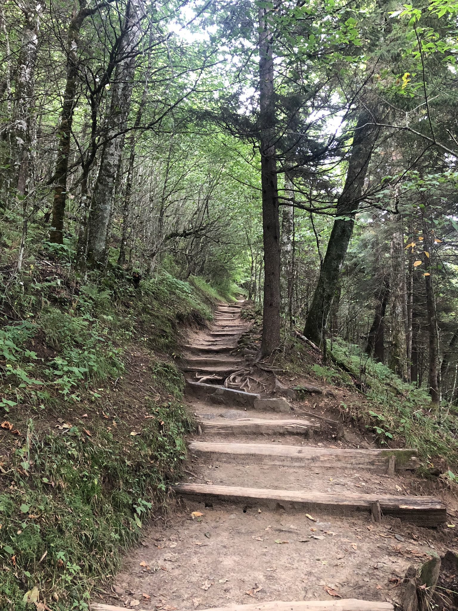
The best smoky mountain hikes are renowned for breathtaking landscapes, diverse ecosystems, and extensive network of hiking trails that span more than 850 miles.

Best Smoky Mountain Hikes

Smoky Mountain National Park

From stunning waterfalls and towering peaks to peaceful forests and wildlife encounters, the park offers a wealth of hiking opportunities for adventurers of all skill levels. If you’re planning a visit, here’s a guide to the best hiking trails in the Smokies that you won’t want to miss!


Best Smoky Mountain Hikes offer some of the best hiking experiences in the eastern United States. Whether you’re chasing waterfalls, climbing mountains, or taking in panoramic views, the park’s diverse trails provide a little something for everyone. As you explore these top hiking trails, be sure to bring plenty of water, wear sturdy shoes, and come prepared for the changing weather in the mountains. Happy hiking, and enjoy the natural beauty of the Smokies.

The Best Hiking Trails at Great Smoky Mountains National Park

Alum Cave Trail to Mount LeConte
  • Distance: 10.6 miles round trip
  • Difficulty: Moderate to Strenuous
  • Elevation Gain: 2,763 feet

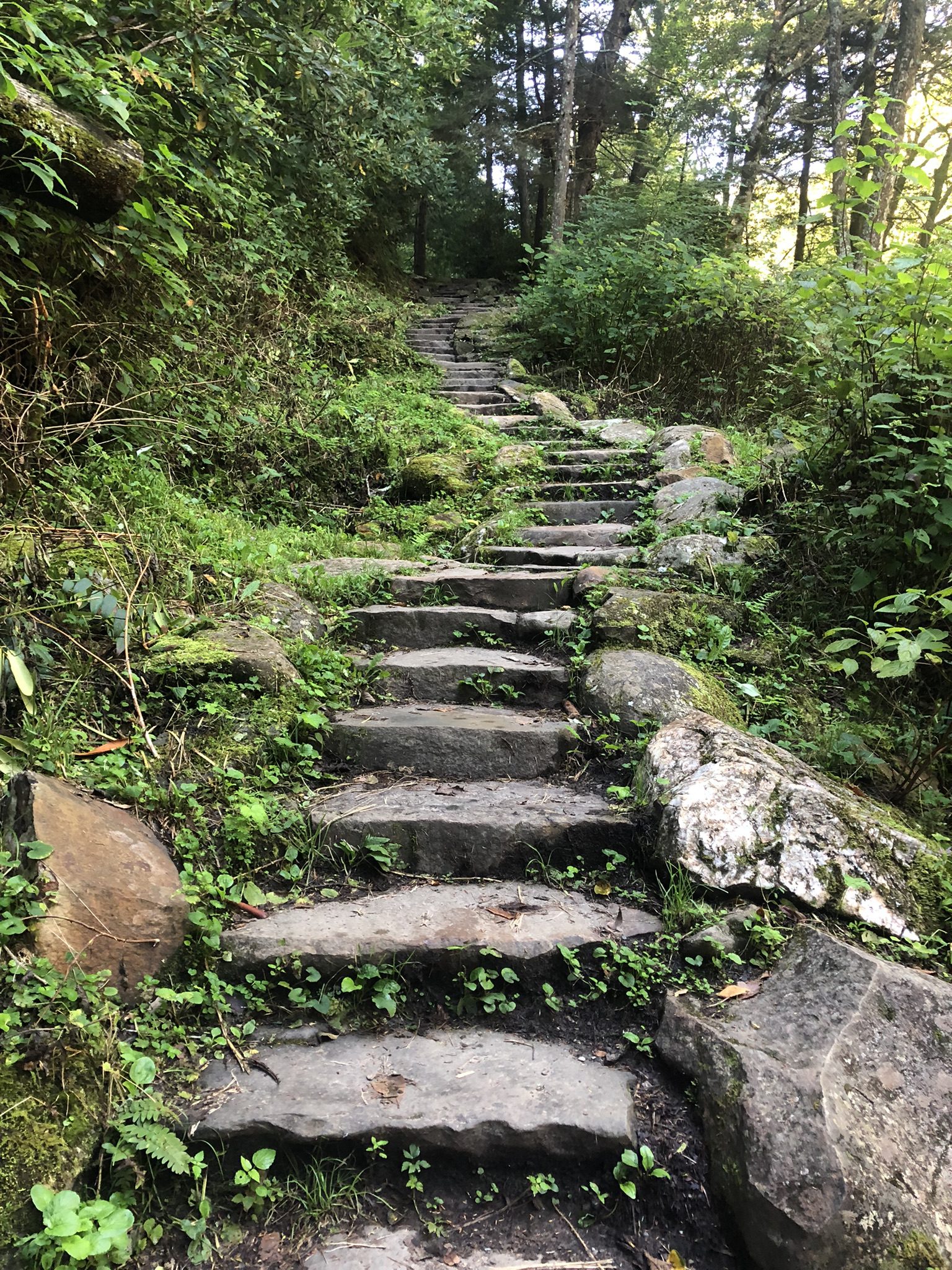
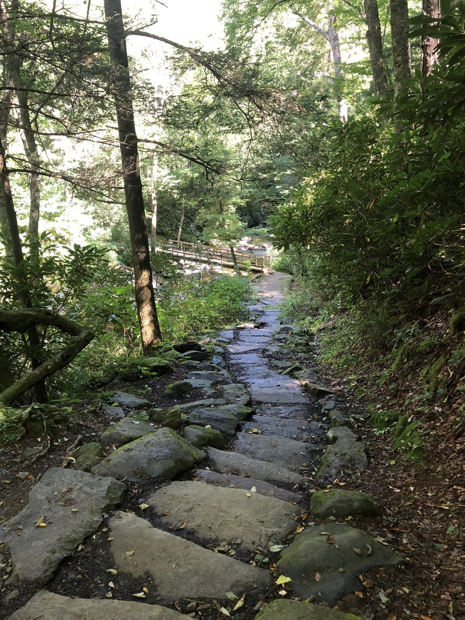
One of the most iconic hikes in the Smokies, the Alum Cave Trail takes you through some of the park’s most diverse terrain. The hike begins with a relatively gentle climb through old-growth forests, crossing streams via rustic log bridges. As you ascend, you’ll pass landmarks like Arch Rock, a unique natural tunnel, and Alum Cave Bluff, an overhanging cliff offering stunning views of the valley below.

The final push to Mount LeConte is challenging but rewarding. At the summit, you can visit LeConte Lodge, a rustic retreat only accessible by foot, and enjoy panoramic views of the Smokies. This trail is ideal for hikers looking for a longer day hike or an overnight adventure.

Chimney Tops Trail
  • Distance: 3.3 miles round trip
  • Difficulty: Strenuous
  • Elevation Gain: 1,487 feet

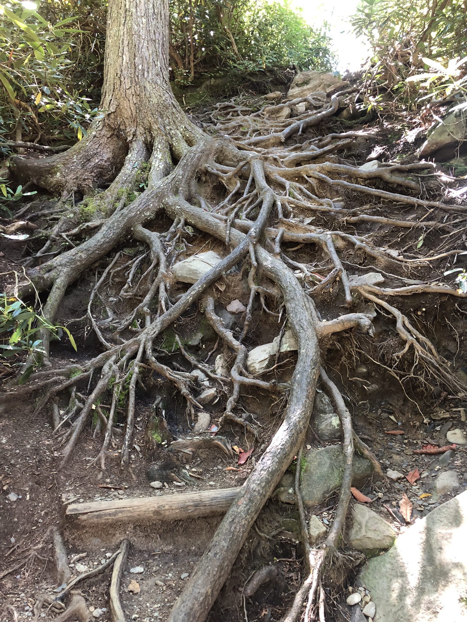
For those seeking a shorter but more challenging hike, the Chimney Tops Trail offers a steep, rocky ascent with a huge payoff at the top. The trail, though only 3.3 miles round trip, climbs sharply through forested switchbacks. The final section involves scrambling up rocks to reach the twin peaks, where you’ll be rewarded with sweeping 360-degree views of the surrounding mountains.

The climb can be tough, but it’s one of the best short hikes for those who want a bit of adventure in a short timeframe. Be sure to bring plenty of water and take your time on the steeper sections.

Charlies Bunion
  • Distance: 8 miles round trip
  • Difficulty: Moderate
  • Elevation Gain: 1,640 feet

If you’re looking to combine the  Best Smoky Mountain Hikes and the beauty of the Appalachian Trail with spectacular mountain views, the hike to Charlies Bunion is perfect. This trail begins at Newfound Gap and follows the Appalachian Trail through dense forests before breaking out onto a rocky outcrop.

Charlies Bunion provides a stunning panorama of the Smoky Mountains, with views stretching for miles on clear days. The hike itself is moderately challenging but very rewarding, offering opportunities to spot wildlife and enjoy the park’s incredible biodiversity.

Andrews Bald
  • Distance: 3.5 miles round trip
  • Difficulty: Moderate
  • Elevation Gain: 899 feet

For a gentler hike with plenty of scenic rewards, Andrews Bald is an excellent choice. This trail starts at the Clingmans Dome parking lot, making it easily accessible for day hikers. It descends through a beautiful forest of spruce and fir, emerging at a grassy bald that offers stunning views of the surrounding mountains.

Balds are unique, grassy areas atop the mountains that provide unobstructed views, and Andrews Bald is one of the best in the park. Pack a picnic and take your time soaking in the scenery at the bald before making the moderate return ascent.

Ramsey Cascades
  • Distance: 8 miles round trip
  • Difficulty: Strenuous
  • Elevation Gain: 2,190 feet

The Smoky Mountains are home to many beautiful waterfalls, and Ramsey Cascades is the tallest. This strenuous hike takes you deep into the forest, passing giant trees and following a stream for much of the journey. The trail ends at a stunning 100-foot waterfall, where water cascades down a series of rocky steps.

While the trail is long and challenging, the destination is worth every step. Ramsey Cascades offers one of the best waterfall views in the park, and the trail itself is less crowded than some of the more popular routes, making it a peaceful retreat for those seeking solitude.

Laurel Falls Trail
  • Distance: 2.6 miles round trip
  • Difficulty: Easy to Moderate
  • Elevation Gain: 396 feet

For families and those looking for a shorter, more accessible hike, Laurel Falls is one of the most popular options. This paved trail is perfect for a leisurely stroll through the woods, leading to a beautiful 80-foot waterfall. It’s a great spot for photos and offers a serene break from the hustle of everyday life.

Because it’s relatively easy and short, Laurel Falls can get crowded, especially during peak tourist season. To beat the crowds, try visiting early in the morning or later in the afternoon.

Tips for Hiking in the Smokies

  • Be prepared for changing weather: The Smokies can experience sudden weather shifts, especially at higher elevations. Bring layers and rain gear even if the forecast looks clear.
  • Start early: Many of the popular trails can become crowded, especially on weekends. Starting your hike early in the day ensures a quieter, more peaceful experience.
  • Stay on the trail: The Smokies are home to a wide variety of wildlife, including black bears. Staying on designated trails helps protect the park’s ecosystem and keeps you safe.
  • Pack enough water and snacks: Some of the more strenuous hikes, like Mount LeConte or Ramsey Cascades, require plenty of energy. Bring enough water and snacks to stay hydrated and fueled.
Best Smoky Mountain Hikes