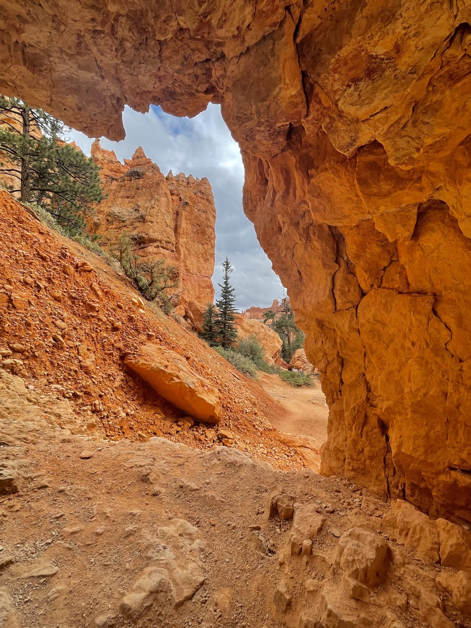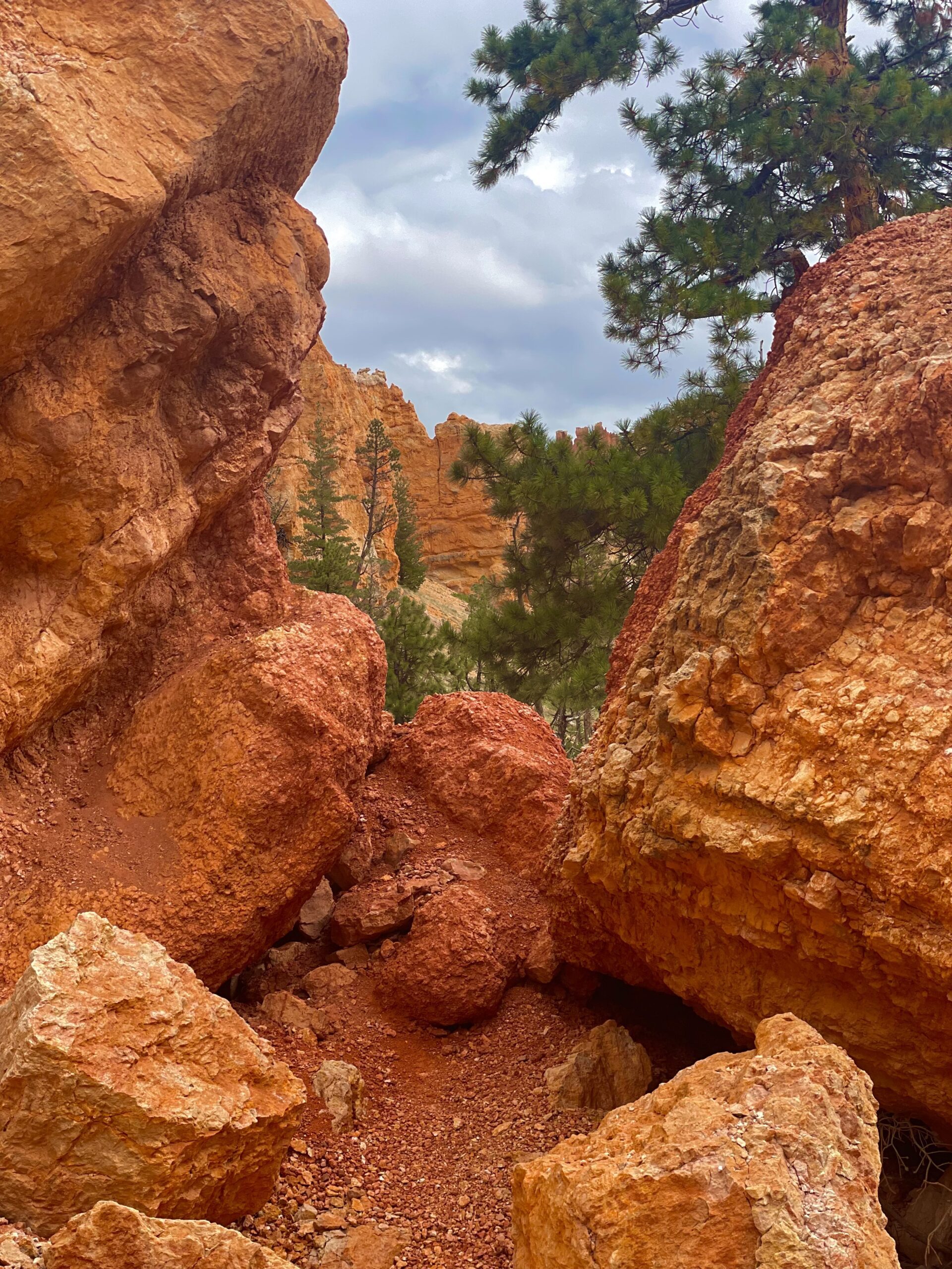
Bryce Canyon National Park
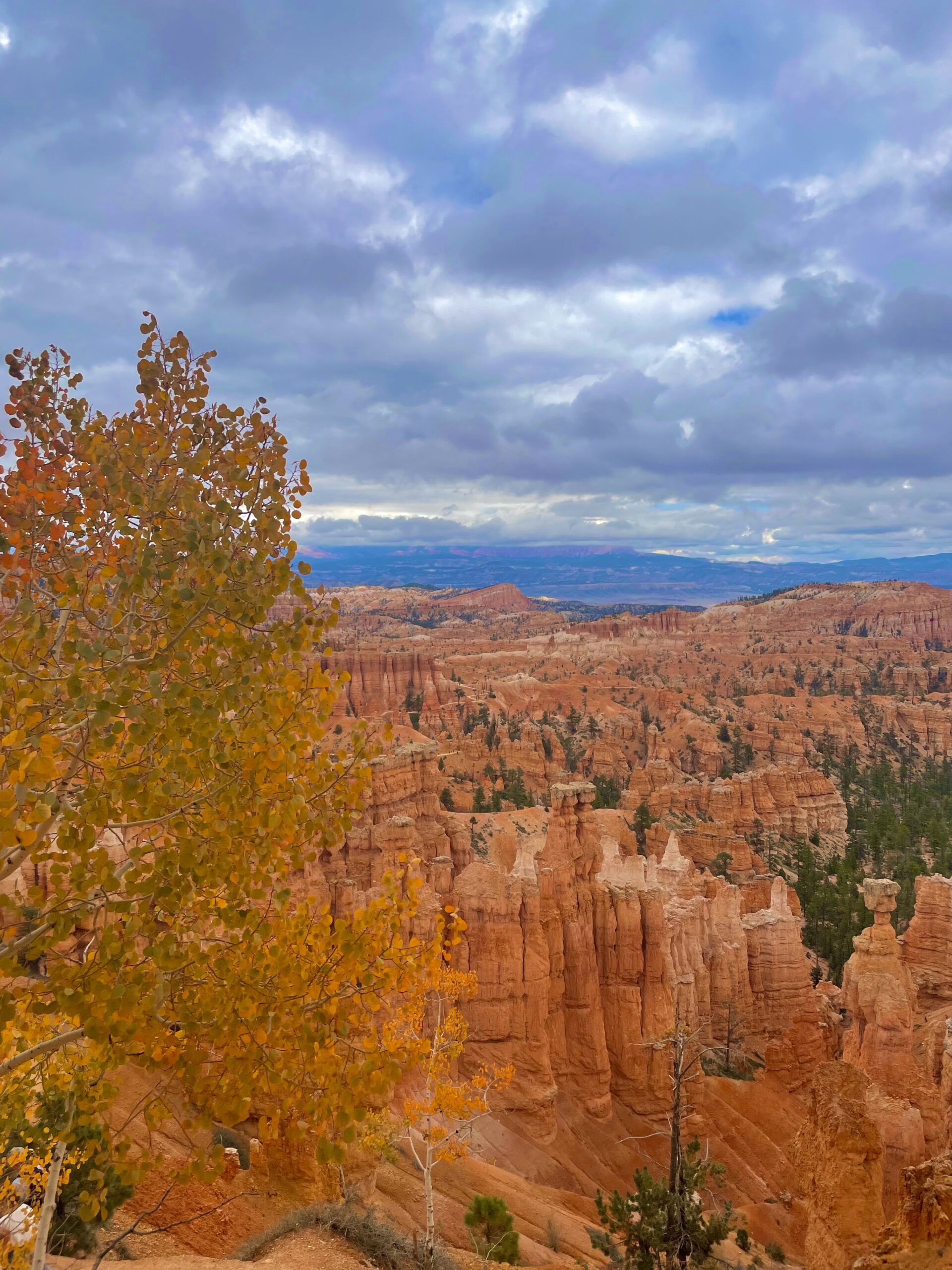
Bryce Canyon National Park, located in southern Utah, is a stunning geological wonderland known for its otherworldly landscape of intricately eroded orange and red rock formations known as hoodoos. This unique natural masterpiece was carved over millions of years by the forces of wind, water, and frost, creating a surreal labyrinth of towering spires, deep canyons, and natural amphitheaters. Visitors can explore the park’s scenic vistas, hiking trails, and overlooks, including the popular Sunrise Point, Sunset Point, and Inspiration Point, offering breathtaking panoramic views of the amphitheaters. Whether admiring the park’s distinctive geological features or stargazing under some of the darkest skies in North America, Bryce Canyon National Park offers a truly enchanting and unforgettable experience for nature enthusiasts and adventurers alike.
Park Information
Location: Utah
Elevation: 8,000 ft
Park Size: 35,835 acres
Time Needed: 1 Day Highlights, 2-3 Day Full Experience
Best Season: Spring and fall
Must hike: Queens garden and navajo loop trail, peekaboo loop trail
Hike down through wallstreet among the pines growing in the canyon
Lodging: Stay at the famous Bryce Canyon lodge or find accomodations in the closest town of Cannonville
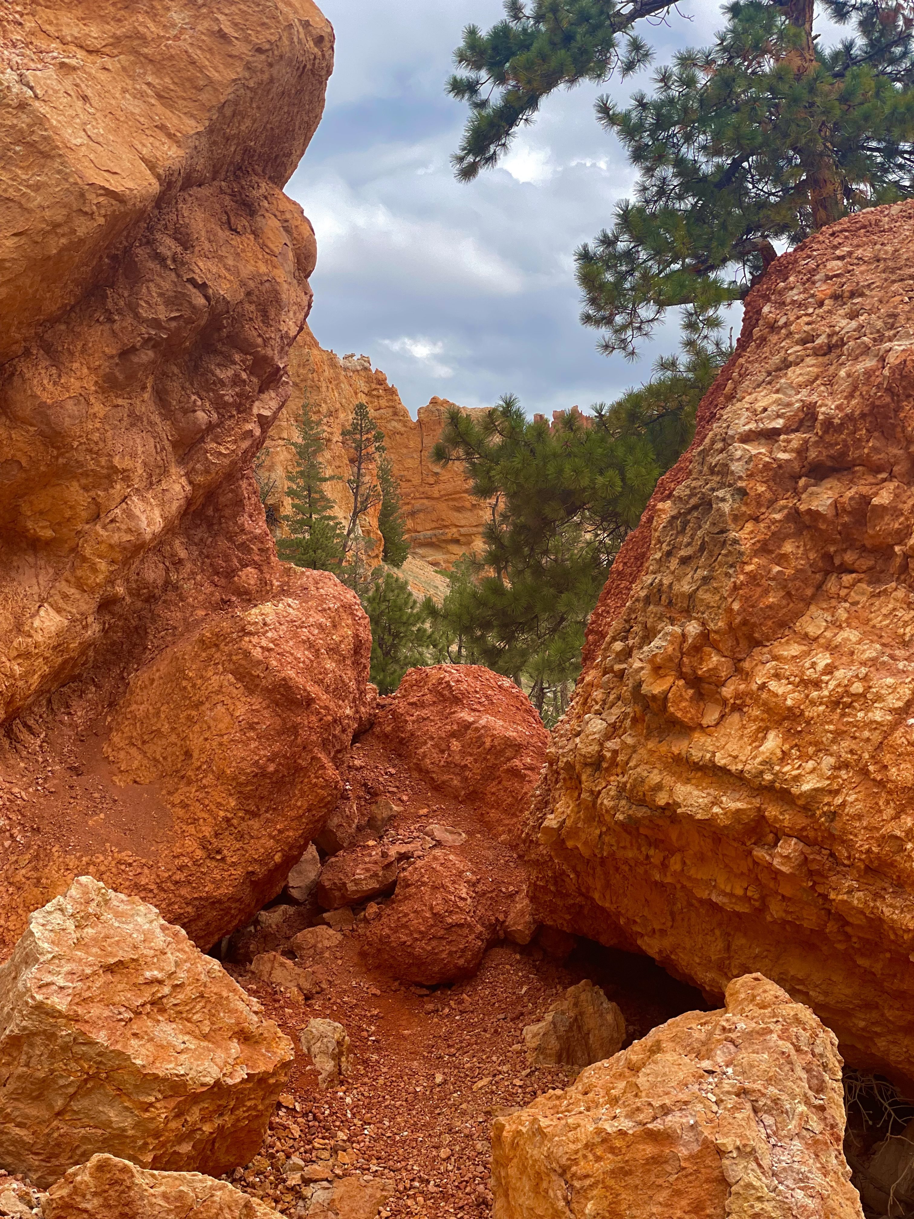
Travel: drive the scenic byway from zion (highly recomend especially in october) or drive highway 12 from capital reef
Closest airport: Cedar city regional airport
Pro tip: fly into Las Vegas and drive through Zion (if extra ambitious drive south to the vermillion cliffs)
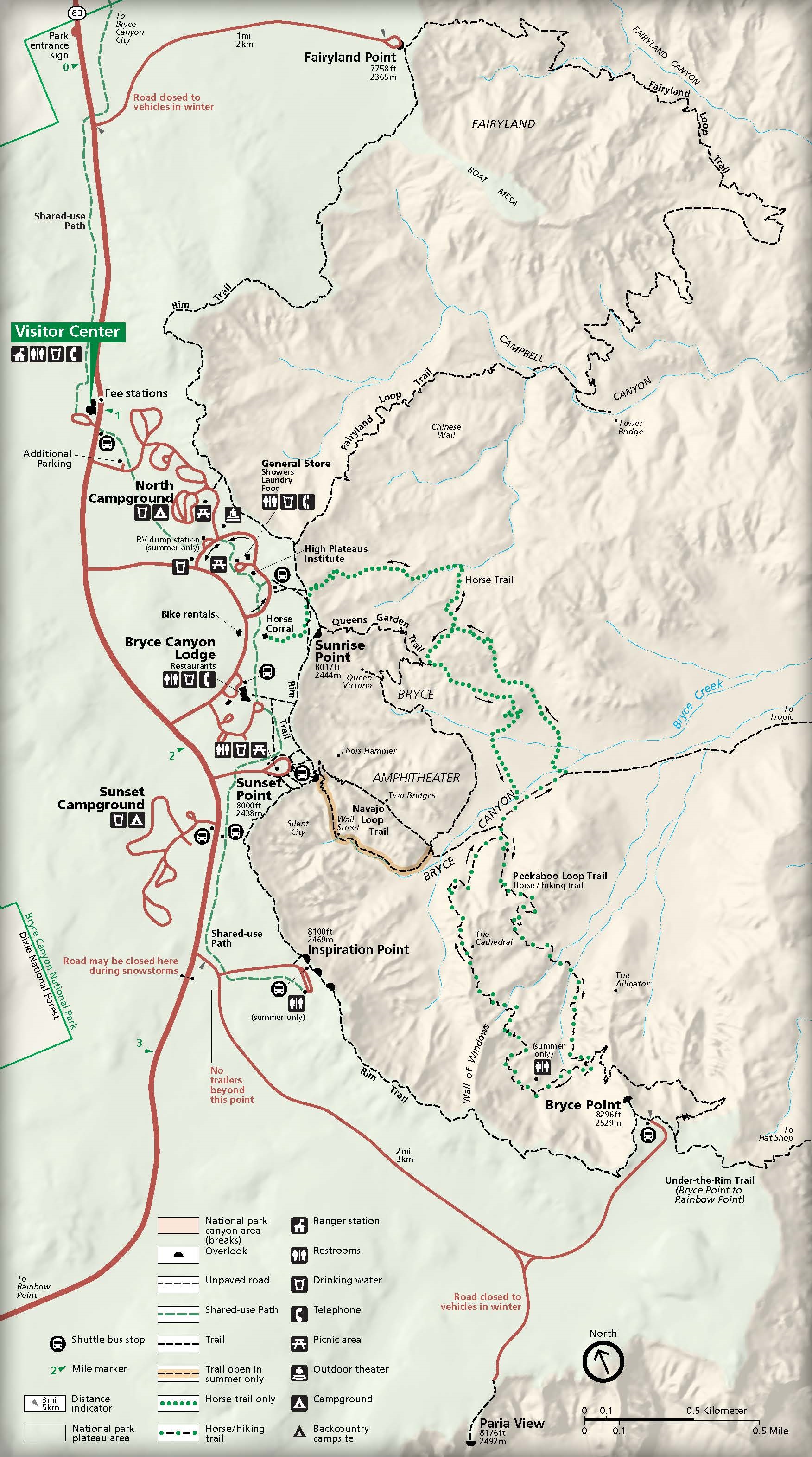
Best Campground: north camprgound (surrounded by massive pine trees and rolling hills)
Pro Tips: The park is located at a high elevation gets very cold in late fall or early spring can cause ice on trails.
Beware of rain and storms while in the canyon
Stay for the stars “half the park is after dark”
Visitor Centers
Bryce Canyon National Park has two main visitor centers that offer valuable resources and information to help visitors make the most of their time in the park. The Visitor Center located at the park’s main entrance is the primary hub for visitors. It features exhibits on the park’s geology, history, and wildlife, providing a great introduction to the park’s unique landscape of hoodoos and striking rock formations. Visitors can watch an orientation film, pick up maps and brochures, and ask park rangers for recommendations on hiking trails, scenic viewpoints, and current trail conditions. The Visitor Center is also home to a gift shop, offering a variety of souvenirs, books, and outdoor gear. During the summer, the center hosts ranger-led programs and offers information about stargazing events, as Bryce Canyon is a designated International Dark Sky Park.
Plan Your Bryce Canyon Adventure Today!
Getting There
How to Travel to Bryce Canyon National Park
Traveling to Bryce Canyon National Park requires navigating to southern Utah, where the park’s iconic hoodoos and stunning landscapes await. The nearest major city is Salt Lake City, about 270 miles north of the park, which is accessible by car via Interstate 15 and Highway 12. This route offers travelers a scenic drive through southern Utah’s beautiful terrain, passing through areas like the Grand Staircase-Escalante National Monument. Alternatively, Las Vegas, roughly 260 miles to the southwest, is another common entry point. From Las Vegas, visitors can drive east along Highway 20 and Highway 89 to reach the park. Both routes take several hours, but they provide a chance to explore the region’s diverse landscapes.
If you’re flying into the area, Salt Lake City International Airport and McCarran International Airport in Las Vegas are the most convenient airports for reaching Bryce Canyon. Once in the area, renting a car is essential, as public transportation options to the park are limited. The drive from Salt Lake City typically takes about 4-5 hours, while the drive from Las Vegas is around 4 hours as well. There are smaller regional airports, such as Cedar City Regional Airport (about 80 miles away), which offer flights from larger cities, providing an alternative for travelers seeking a shorter drive.
Camping
North Campground
- Location: Situated near the park’s main entrance, close to the Visitor Center and popular viewpoints.
- Sites: 99 campsites, including both reservable and first-come, first-served options. The campground is open year-round, with the exception of certain sites that may be closed during winter due to snow conditions.
- Amenities: North Campground features picnic tables, fire rings, restrooms, and potable water. It has no electrical or water hookups. There is a dump station available for RV campers.
- Season: Open year-round, though services may be limited in the winter.
- Special Features: The campground is well-situated for quick access to the park’s scenic drives and trails. During the summer, it can fill up quickly, so reservations are recommended.
Sunset Campground
- Location: Located a little farther from the park’s entrance, near the Sunset Point and several trailheads, making it a great spot for those looking to explore hiking opportunities.
- Sites: 50 campsites, all of which are reservable. The campground operates seasonally, from mid-April to late October, and is closed during the winter months.
- Amenities: Like North Campground, Sunset offers picnic tables, fire pits, restrooms, and potable water. There are no hookups available, but there is a dump station for RV campers.
- Season: Typically open from mid-April through October, depending on weather conditions.
- Special Features: Sunset Campground is ideally located for easy access to hiking trails and the Bryce Canyon Scenic Drive. It is also known for being close to Sunset Point, one of the most popular viewpoints in the park.
Backcountry Camping
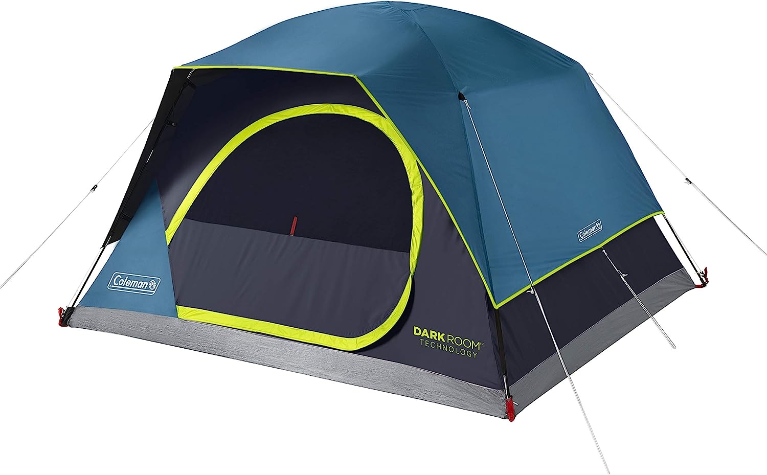
- Location: Throughout the park, particularly in more remote and rugged areas. Permits are required for backcountry camping.
- Sites: There are no designated campsites for backcountry camping, but areas are available for primitive camping.
- Amenities: No services are provided in backcountry sites, so visitors must be prepared to pack in all supplies, including water, and follow Leave No Trace principles.
- Season: Available year-round, though conditions can be harsh during the winter months.
- Special Features: Backcountry camping allows for a more remote experience with access to quieter areas of the park, perfect for stargazing or those seeking solitude. It’s a great option for experienced campers ready to explore Bryce Canyon’s wild side.
Popular Hiking Trails
Navajo Loop Trail
- Length: 1.3 miles (loop)
- Difficulty: Moderate
- Description: One of the most popular and iconic trails in Bryce Canyon, the Navajo Loop Trail takes hikers through the heart of the park’s famous hoodoo formations. Starting from Sunset Point, the trail descends into the Bryce Amphitheater, passing formations like Thor’s Hammer and Wall Street, a narrow slot canyon with towering rock walls. The trail is well-maintained with switchbacks, and the views are truly breathtaking.
- Highlights: Hoodoos, slot canyons, Thor’s Hammer, and Wall Street.
Peekaboo Loop Trail
- Length: 5.5 miles (loop)
- Difficulty: Strenuous
- Description: For those looking for a more challenging and longer hike, the Peekaboo Loop Trail is a fantastic option. Starting from Bryce Point, this trail loops around the Bryce Amphitheater, providing hikers with incredible views of the hoodoos, along with an opportunity to explore some of the park’s most stunning formations. The trail is known for its steep climbs and diverse scenery, including rock tunnels and hidden vantage points.
- Highlights: Expansive views of Bryce Canyon, hoodoos, rock tunnels, and a more strenuous hike.
Fairyland Loop Trail
- Length: 8 miles (loop)
- Difficulty: Moderate to Strenuous
- Description: The Fairyland Loop Trail is one of the longer, more remote trails in Bryce Canyon, offering hikers a chance to escape the crowds and experience more solitude. The trail starts at Fairyland Point and takes visitors through a variety of landscapes, including towering hoodoos, rock spires, and wide-open meadows. Along the way, you’ll have several chances to catch incredible views of the canyon, with fewer people than the popular Navajo Loop or Queen’s Garden trails.
- Highlights: Solitude, unique rock formations, and stunning views of the canyon.
Under-the-Rim Trail
- Length: 22 miles (one-way)
- Difficulty: Strenuous
- Description: The Under-the-Rim Trail is a long, strenuous hike that offers an in-depth exploration of Bryce Canyon’s backcountry. Starting at the Bryce Point, the trail descends into the canyon and travels along its base, offering a completely different perspective of the hoodoos and rock formations. The trail can be hiked in sections or completed as a multi-day backpacking trip, providing a more remote and solitary experience.
- Highlights: Backcountry experience, panoramic views, and the opportunity to camp in the wilderness.
Queen’s Garden Trail
- Length: 1.8 miles (one-way)
- Difficulty: Easy to Moderate
- Description: This trail is another must-do in Bryce Canyon, offering visitors a relatively easy descent into the amphitheater. It begins at Sunrise Point and winds down into the park’s lower elevations, where you’ll encounter several notable rock formations. The trail is named for a rock formation that resembles Queen Victoria’s profile. It can be combined with the Navajo Loop for a longer, more complete experience.
- Highlights: Unique rock formations, panoramic views, and easy access to the canyon floor.
Bryce Canyon Rim Trail
- Length: 5.5 miles (one-way)
- Difficulty: Easy to Moderate
- Description: The Rim Trail offers a mostly flat, paved path that runs along the edge of the canyon, providing stunning panoramic views of Bryce Canyon’s unique rock formations. It’s a great option for those who want to enjoy the views without descending into the canyon. The trail is perfect for beginners or families with young children. Visitors can access various viewpoints along the way, such as Sunrise Point, Sunset Point, and Inspiration Point.
- Highlights: Scenic views, easy walking, and multiple viewpoints along the canyon rim.
Tower Bridge Trail
- Length: 3 miles (round-trip)
- Difficulty: Moderate
- Description: This relatively short hike leads to the Tower Bridge, a natural rock formation that resembles a bridge. The trail offers a chance to explore the more remote corners of Bryce Canyon, passing by interesting rock formations and providing views of the surrounding area. It’s a great choice for those looking to experience a quieter trail with scenic views and a unique geological feature.
- Highlights: Tower Bridge, panoramic views, and a relatively moderate hike.
Hat Shop Trail
- Length: 1.3 miles (loop)
- Difficulty: Easy to Moderate
- Description: The Hat Shop Trail takes visitors through a fascinating area where hoodoos and rock formations resemble giant hats. This easy-to-moderate trail offers an excellent opportunity to explore Bryce Canyon’s unique geology without the heavy crowds. It’s a great option for those short on time but wanting to experience something different from the more well-known hikes in the park.
- Highlights: Rock formations resembling hats, unique geology, and an easy to moderate hike.
Hiking Trails in Bryce Canyon National Park
Hiking at Bryce Canyon National Park is one of the best ways to fully experience the park’s unique landscape, with its iconic hoodoos, dramatic cliffs, and vast views. The park offers a variety of trails, catering to hikers of all skill levels, from easy walks along the rim to challenging backcountry adventures. The most popular hikes, such as the Navajo Loop and Queen’s Garden, offer access to the park’s main amphitheater, allowing visitors to descend into the canyon and get up close to the park’s striking rock formations. These trails provide breathtaking views of hoodoos, natural arches, and spires, showcasing the park’s diverse geology. For those with more time, the Peekaboo Loop and Fairyland Loop offer longer, more challenging hikes that take visitors deeper into the park’s stunning landscape, providing a sense of solitude and immersion in nature.
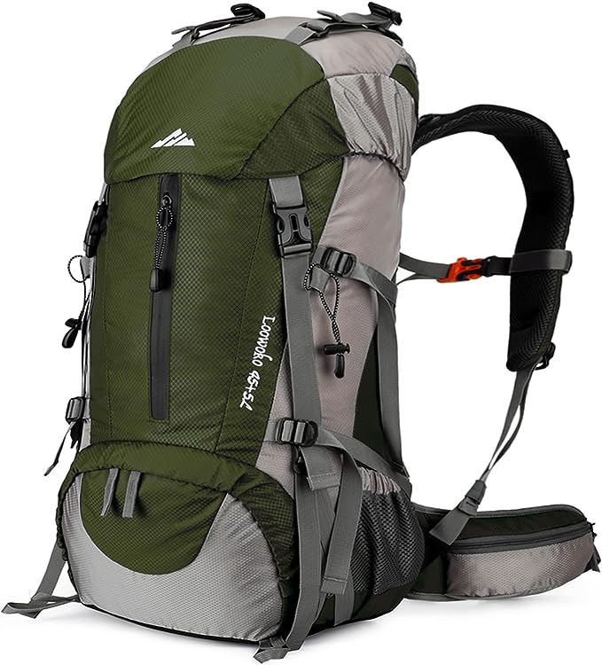
The park’s high altitude (over 8,000 feet) can make hiking more strenuous than expected, so it’s important to stay hydrated and be prepared for changes in weather. Temperatures can vary significantly throughout the day, so packing layers is essential, especially in the cooler months or at higher elevations. Bryce Canyon’s unique climate, with its combination of desert and mountainous environments, creates diverse ecosystems along the trails. Hikers may encounter everything from wildflower-filled meadows to shaded forests, and if lucky, they might spot wildlife such as mule deer, elk, or a variety of birds. Most trails are well-marked, but it’s important to note that some, like the Under-the-Rim Trail, require a higher level of fitness and preparation due to their length and difficulty.
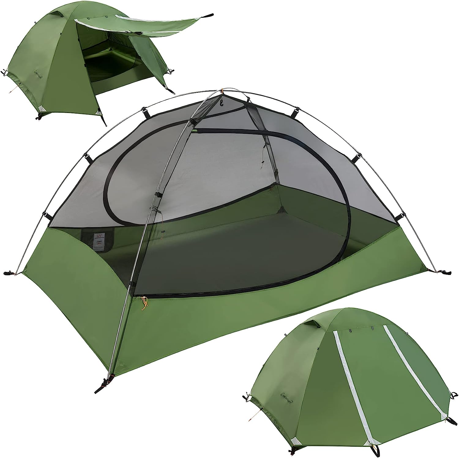
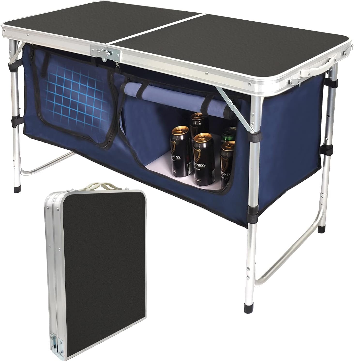
Gear We Used



Wildlife at the Park
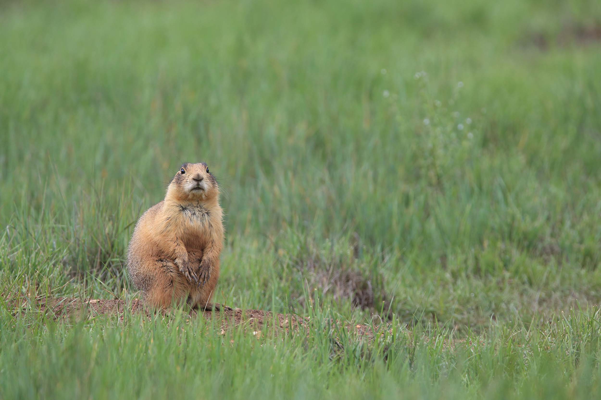
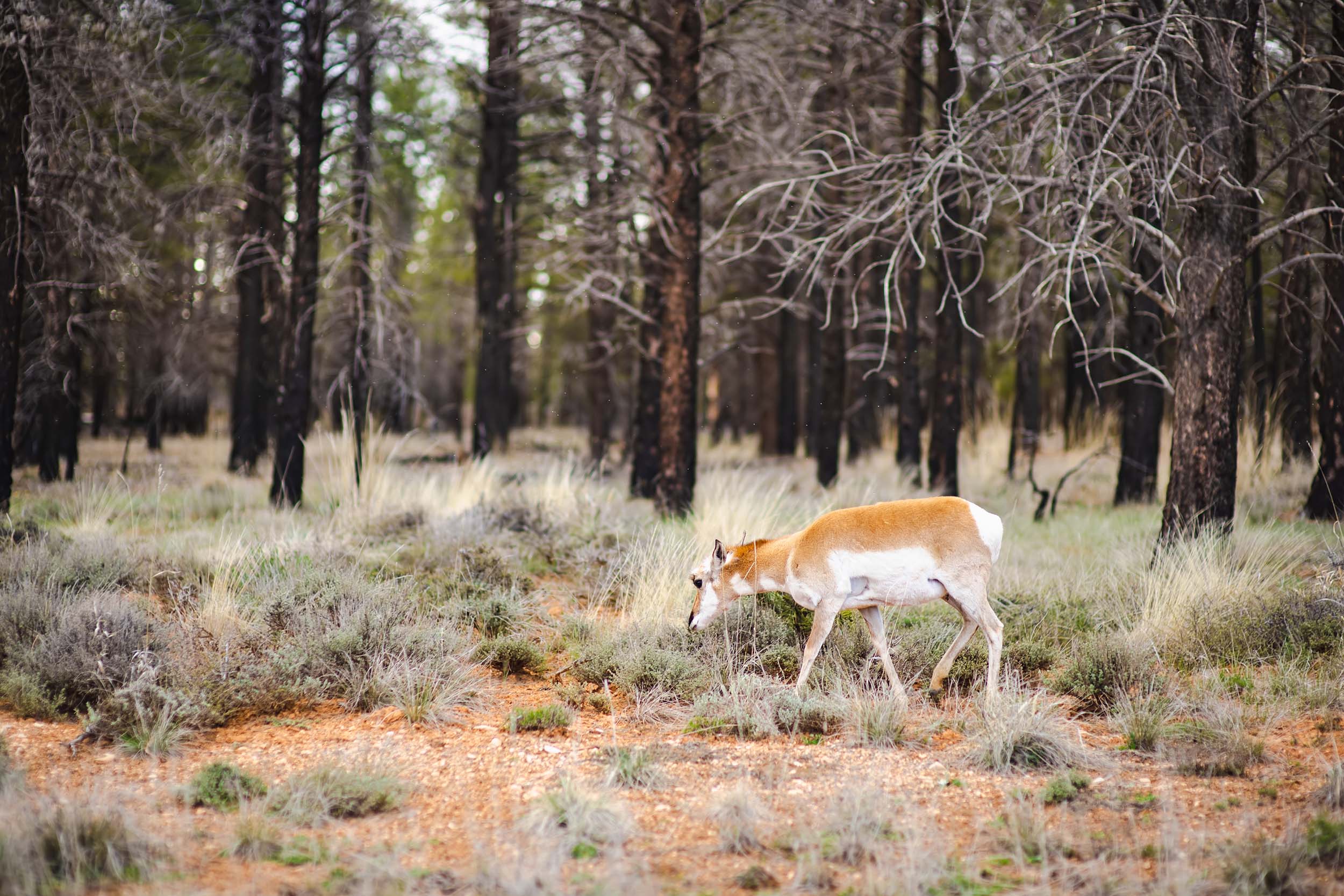
Bryce Canyon National Park is home to a diverse array of wildlife, with species adapted to thrive in the park’s varied ecosystems, from the high-altitude forests to the arid desert environments. Mammals such as mule deer, mountain lions, and pronghorn antelope roam the park’s meadows and forests. The park is also known for its herds of wild elk, which are most commonly seen during the early morning or late evening hours when they are grazing in the meadows or on the lower slopes of the canyon. Smaller mammals, such as foxes, coyotes, and the elusive bobcat, also inhabit the park, though they are harder to spot due to their nocturnal nature. Bryce Canyon’s remote and rugged terrain provides these animals with the perfect habitat to thrive while maintaining the park’s ecological balance.
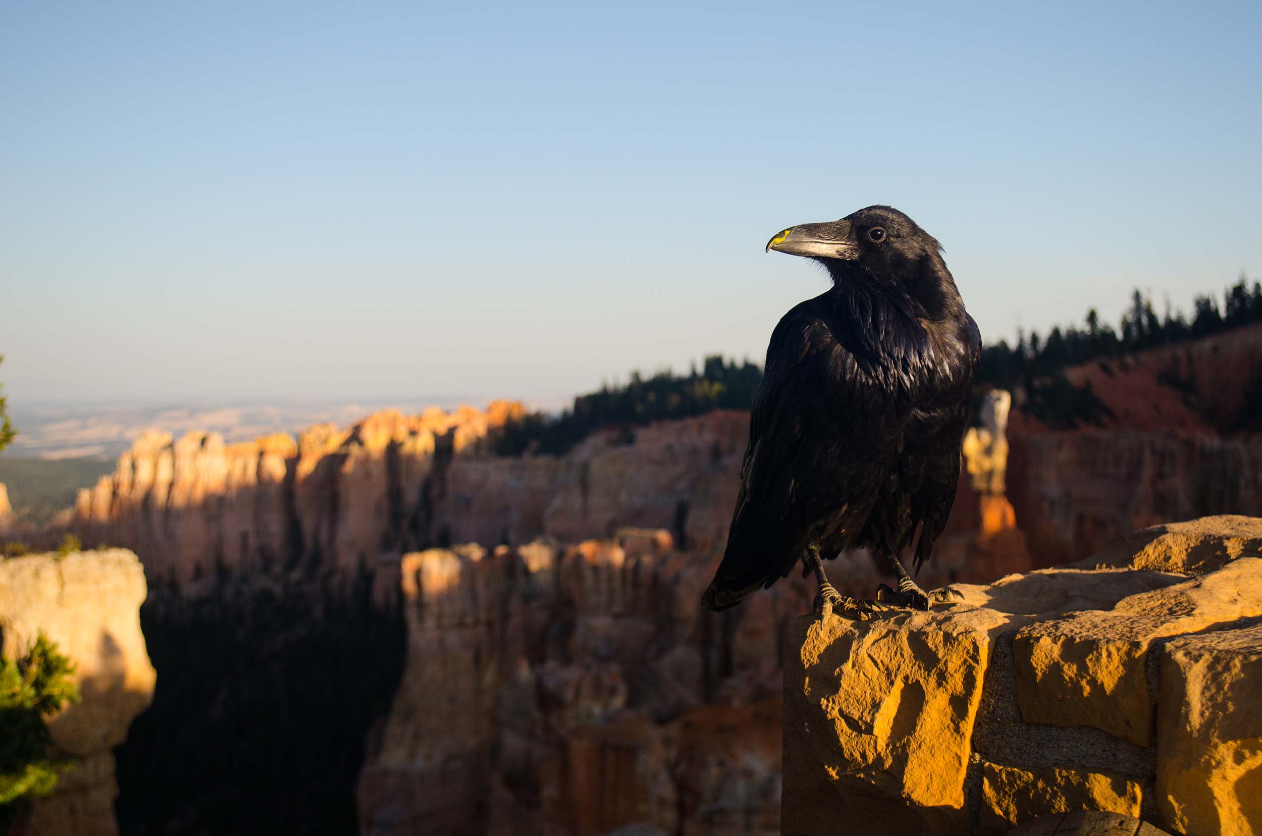
Birdwatchers will find Bryce Canyon an exciting destination, as it is home to a variety of bird species, many of which are adapted to the park’s unique environment. Raptors, including the red-tailed hawk and the golden eagle, soar high above the canyon, while smaller species such as the Western bluebird and the mountain chickadee flit through the trees. The park is also an important stopover for migratory birds along the Pacific Flyway. In addition to these, birders can spot a variety of songbirds, woodpeckers, and ground-dwelling birds like the rock wren, which nests in the canyon’s cliffs. During spring and fall migrations, the birdlife is especially abundant, providing birdwatchers with ample opportunities to witness diverse species in action.
Must Do’s
visit inspiration point
Inspiration Point is one of the most famous and widely visited viewpoints in Bryce Canyon National Park. It is located along the Bryce Canyon Rim Road and offers a spectacular panoramic view of the Bryce Amphitheater. The viewpoint provides a breathtaking vista of the colorful hoodoos, spires, and cliffs that make up the unique geological formations of the park.
Thors Hammer
Thor’s Hammer is one of the iconic and easily recognizable rock formations in Bryce Canyon National Park. It is a hoodoo—a tall, thin spire of rock—shaped like a hammer, and it resembles the mythical weapon of Thor, the Norse god of thunder. The formation is characterized by a large, narrow rock atop a smaller pedestal, creating the distinct hammer-like appearance.Thor’s Hammer is located in the Bryce Amphitheater, a central and popular area within the park known for its concentration of hoodoos and stunning geological features.
rainbow point
Rainbow Point is one of the notable viewpoints in Bryce Canyon National Park, situated at the southern end of the park. It is known for offering stunning panoramic views of the surrounding landscape. Rainbow Point is also significant because it marks the highest point within the park at an elevation of 9,115 feet (2,778 meters).
bryce point
Bryce Point is another prominent and popular viewpoint in Bryce Canyon National Park, offering breathtaking panoramic views of the Bryce Amphitheater. It is situated along the Bryce Canyon Rim Road, and like other viewpoints in the park, Bryce Point provides a stunning perspective of the unique geological formations, including hoodoos, spires, and cliffs.
Bryce Canyon National Park History
The history of Bryce Canyon National Park is deeply rooted in the cultural heritage of the indigenous peoples who lived in the region long before European settlers arrived. The area was originally inhabited by the Ancestral Puebloans, who are believed to have lived in the region over 2,000 years ago. These early inhabitants left behind archaeological evidence of their presence, including pottery shards, petroglyphs, and dwellings. The Paiute tribe, whose ancestors are believed to have arrived in the area around the 11th century, also have a long history in the region. The Paiutes called the canyon “Bryce’s Canyon” after a settler named Ebenezer Bryce, who homesteaded in the area in the late 1800s. His name eventually became synonymous with the canyon itself, and over time, it came to be known as Bryce Canyon.
The park’s more modern history began in the late 19th century when Ebenezer Bryce established a homestead in the area in 1875. Bryce made his living by raising cattle and farming, and his name became linked to the canyon when local settlers began calling it “Bryce’s Canyon.” His work to build a road into the canyon and his love for the land helped open up the area to further exploration. The unique geology of the region, with its towering hoodoos and striking rock formations, began to attract the attention of scientists and travelers alike. In the early 20th century, the canyon became a popular destination for tourists, and in 1928, Bryce Canyon was designated a national monument, in part due to efforts by local residents, including the Bryce family, to preserve the area’s stunning natural beauty.
