Park Information Quick Facts
Location: Utah
Park Size: 241,904 Acres
Time Needed: 2-3 days
Best Season: Spring
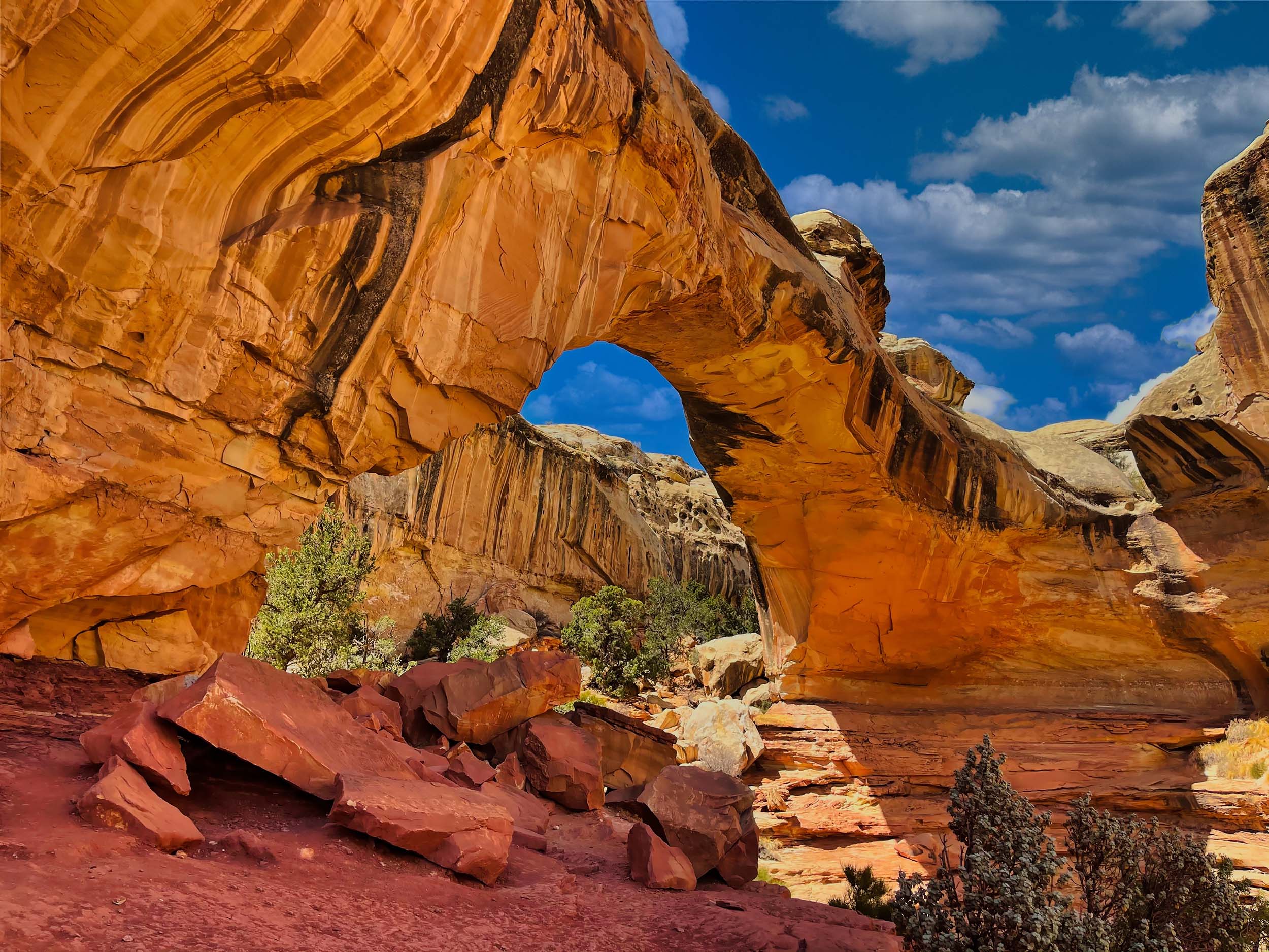
Must Do: Hickman Bridge Trail
Pro Tips: Stop by the Gifford House in the Fruita Historic District to enjoy freshly baked fruit pies and homemade treats.
Visitor Centers
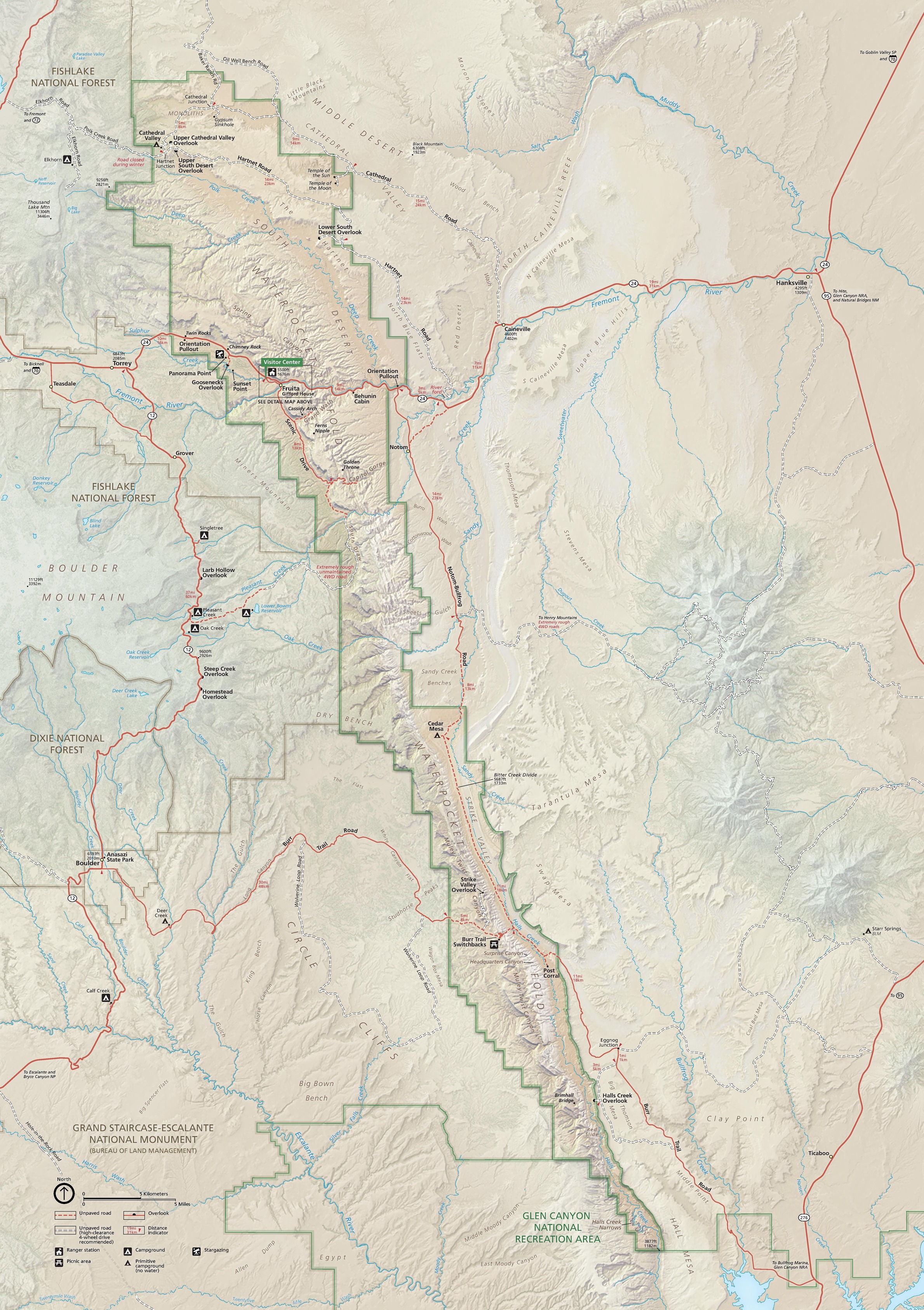
Capitol Reef National Park has two main visitor centers that serve as excellent starting points for exploring the park. The Capitol Reef Visitor Center, located near the Fruita Historic District, is the primary hub for park information, maps, and educational exhibits. Visitors can watch a short orientation film that highlights the park’s geology, history, and natural features, helping to provide context for the stunning landscapes ahead. Park rangers are on hand to answer questions, offer guidance for hikes or scenic drives, and provide up-to-date information about road conditions and weather. The gift shop here features books, souvenirs, and educational materials for those eager to learn more about Capitol Reef’s unique geology and cultural history.
Plan Your Capitol Reef Adventure Today!
Getting There
How to Travel to Capitol Reef National Park
Traveling to Capitol Reef National Park requires some planning due to its remote location in south-central Utah, but the journey is part of the adventure. If you’re flying in, the closest major airports are Salt Lake City International Airport (SLC), about a 3.5-hour drive away, and Grand Junction Regional Airport (GJT) in Colorado, roughly 3 hours east of the park. For smaller regional flights, you can consider Cedar City or St. George airports, though these often require connecting flights. From any of these locations, renting a car is essential, as public transportation does not service the park, and you’ll need the flexibility to explore the area fully. The scenic drives through Utah’s red rock country offer incredible vistas along the way, making the trip as memorable as the destination itself.
If you’re coming by car, Capitol Reef is accessible via Highway 24, which runs east-west through the heart of the park and connects with major routes like Interstate 70 and Highway 89. Visitors traveling from Salt Lake City will take Interstate 15 south to Highway 50 and then connect to Highway 24, passing through beautiful small towns and stunning desert scenery. Those arriving from Moab or Arches National Park can enjoy a picturesque drive along Highway 24 west, passing by Goblin Valley State Park for an optional stop. It’s also worth noting that Highway 24 is open year-round and free to drive, providing incredible views of the park’s iconic Waterpocket Fold and surrounding red rock formations before you even reach the visitor center.
Camping
Fruita Campground
- The park’s only developed campground, located near the Fruita Historic District. It has 71 individual sites, including some for RVs, with picnic tables, fire pits, and access to restrooms. Reservations are available from March through October, while sites operate on a first-come, first-served basis in the off-season.
Cathedral Valley Campground
- A primitive, first-come, first-served campground with 6 sites. It is located in the remote Cathedral Valley district and requires a high-clearance vehicle to access. There are no amenities other than picnic tables and a pit toilet, and campers must bring their own water.
Cedar Mesa Campground
- Another primitive, first-come, first-served option with 5 sites. Located along Notom-Bullfrog Road, it is accessible via a dirt road and offers a quieter, more isolated camping experience. The campground includes picnic tables, a pit toilet, and no water.
-
Reserve Early for Fruita Campground
The Fruita Campground is the only developed camping area in Capitol Reef and is extremely popular, especially during the spring and fall seasons. Be sure to make reservations in advance through Recreation.gov to secure a spot. If visiting during the off-season when sites are first-come, first-served, plan to arrive early in the day to increase your chances of finding an open site. -
Be Prepared for Primitive Camping
If you plan to camp at Cathedral Valley or Cedar Mesa Campgrounds, come fully prepared for a remote, primitive experience. These campgrounds have no water, so bring plenty of drinking water, food, and supplies. A high-clearance or 4WD vehicle is often necessary to access these areas, and weather conditions can make dirt roads impassable, so always check with park rangers before heading out. -
Practice Leave No Trace Principles
To help preserve Capitol Reef’s delicate desert environment, follow Leave No Trace principles while camping. This includes packing out all trash, respecting wildlife, and minimizing campfire impacts. Use designated fire pits where allowed, and bring a camp stove as a backup, especially during fire restrictions. Respect the park’s quiet and beauty so future visitors can enjoy its pristine landscapes.
Popular Hiking Trails
Sunglow Trail (Easy)
- Length: 1.0 miles (Round Trip)
- This short and easy trail offers beautiful views of the Fremont River, the historic Fruita district, and the surrounding cliffs.
Hickman Bridge Trail (Moderate)
- Length: 2.0 miles (Round Trip)
- A relatively easy hike leading to the iconic Hickman Bridge, a natural arch, with great views of the Waterpocket Fold and surrounding desert landscape.
Cassidy Arch Trail (Moderate)
- Length: 3.0 miles (Round Trip)
- This moderate trail offers stunning views and leads to Cassidy Arch, named after the outlaw Butch Cassidy. The arch itself is a highlight of the hike.
Grand Wash Trail (Easy to Moderate)
- Length: 4.4 miles (One-Way)
- A scenic, easy-to-moderate hike that follows a wide, wash canyon and offers striking rock formations, with an option to continue to the more challenging portion of the trail.
Chimney Rock Trail (Moderate)
- Length: 1.5 miles (Round Trip)
- This short but steep trail takes hikers up to a viewpoint with panoramic views of the park’s rock formations, including Chimney Rock itself.
Capitol Gorge Trail (Easy)
- Length: 2.0 miles (Round Trip)
- A relatively easy trail that follows Capitol Gorge, passing through a narrow canyon with historical inscriptions left by pioneers. It is great for families and those seeking a short hike.
Waterpocket Fold Trail (Strenuous)
- Length: 8.0 miles (Round Trip)
- A challenging trail that explores the dramatic Waterpocket Fold, providing views of the park’s geology and the rugged desert landscape.
Notom-Bullfrog Road (Backcountry Hiking)
- Length: Variable
- This is a more remote trail system for experienced hikers, requiring off-trail navigation and offering access to less-visited parts of the park, such as the Cathedral Valley.
Hiking Trails in Capitol Reef
Hiking at Capitol Reef National Park offers visitors the chance to explore some of the most unique and striking landscapes in the American Southwest. The park features over 200 miles of hiking trails, ranging from easy walks to challenging backcountry routes, making it a paradise for outdoor enthusiasts. Whether you’re interested in short hikes to iconic landmarks like Hickman Bridge or longer, more strenuous trails like the Waterpocket Fold, there’s something for every level of hiker. Along the way, hikers are treated to views of dramatic rock formations, narrow canyons, and expansive desert vistas that highlight the park’s diverse geology.
For those looking for an easy and family-friendly experience, the Grand Wash Trail and Capitol Gorge Trail are excellent choices. These relatively short and easy trails follow scenic canyon washes, providing ample opportunities for wildlife sightings and historical discoveries, such as petroglyphs and pioneer inscriptions. The Hickman Bridge Trail also offers an enjoyable, moderate hike leading to a stunning natural arch, rewarding hikers with breathtaking panoramic views of the surrounding desert. These trails are well-marked and accessible, making them perfect for those who want to enjoy the park’s beauty without venturing too far from the main roads.
Wildlife at the Park
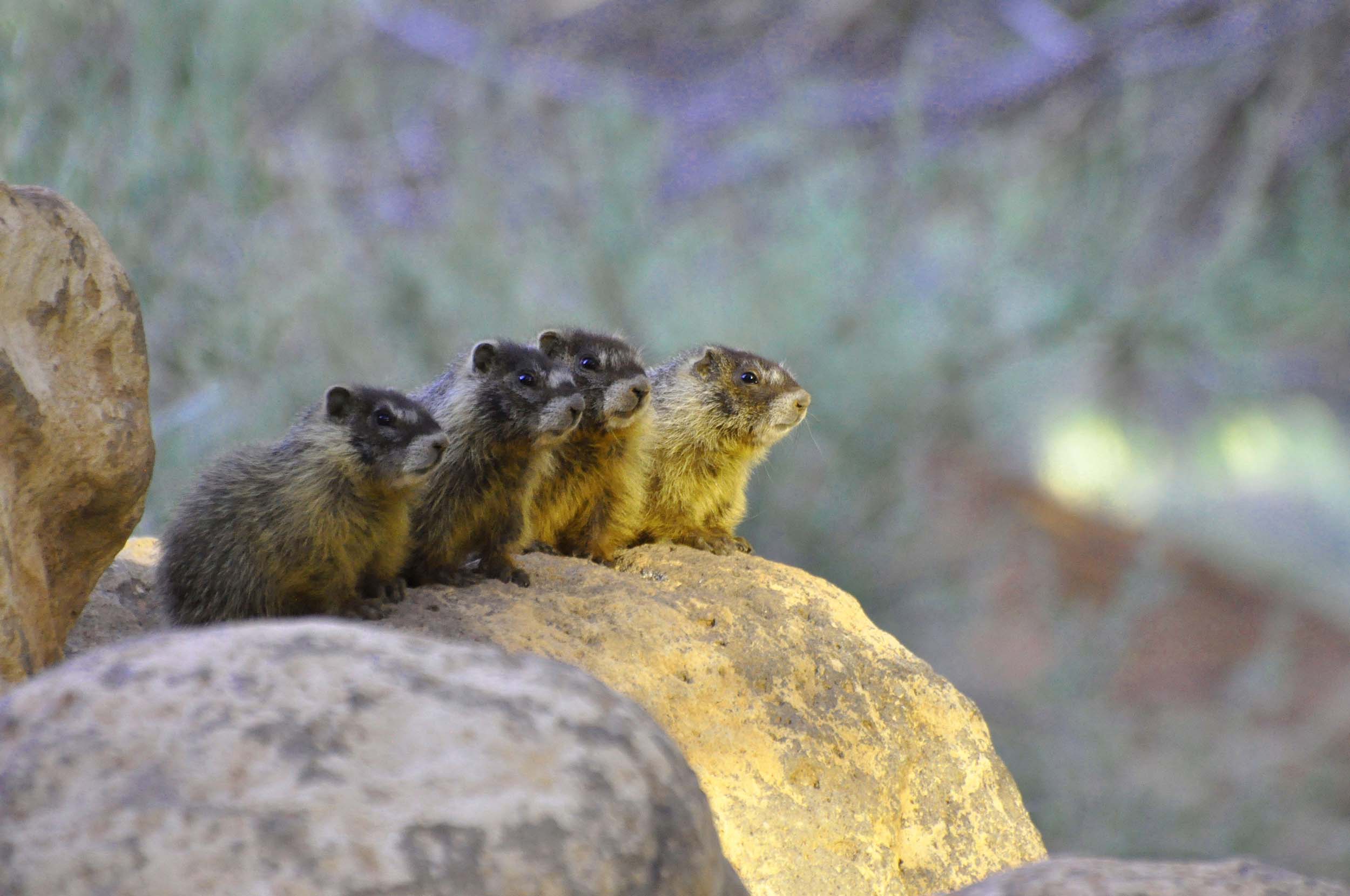
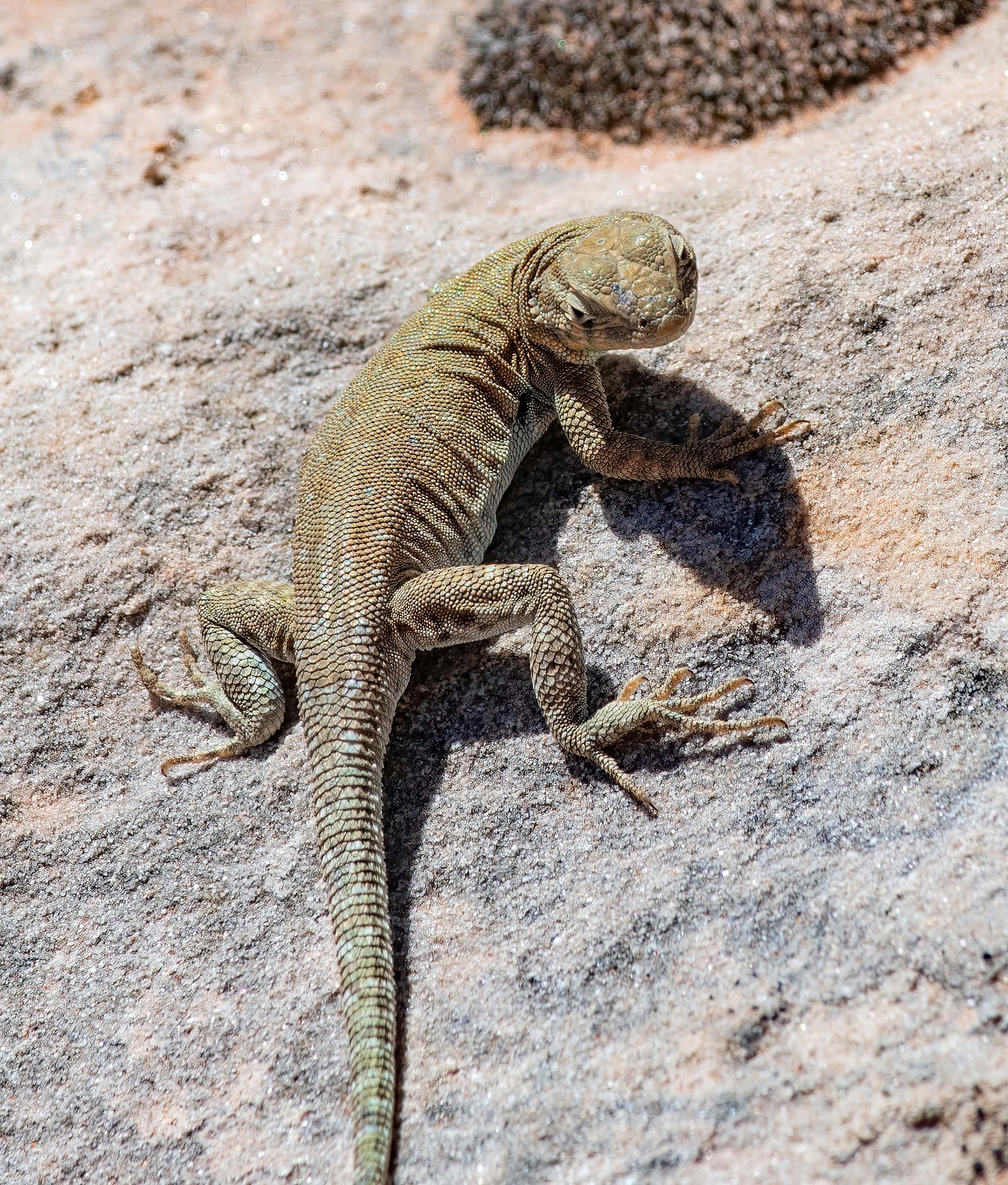
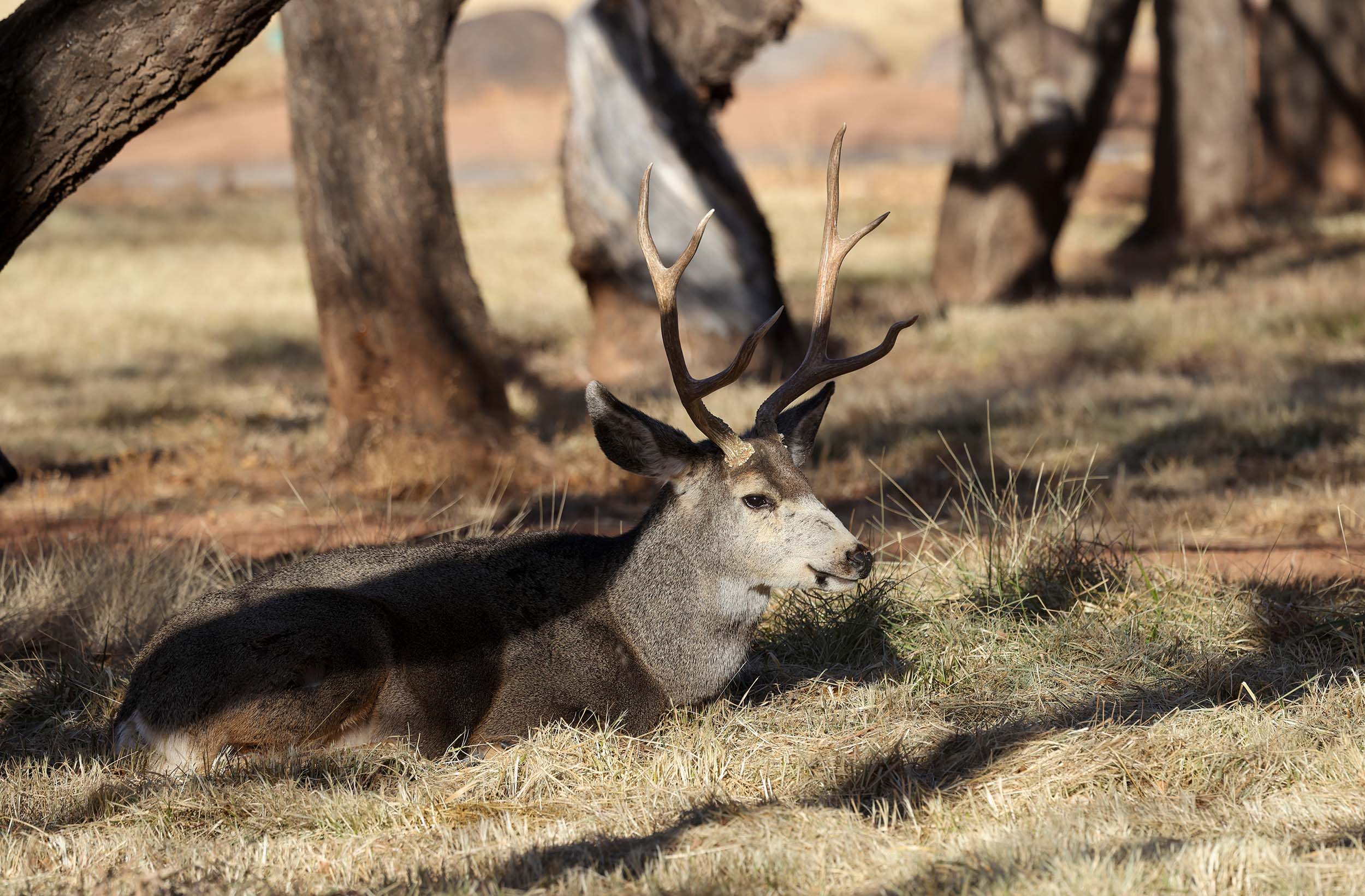
Capitol Reef National Park is home to a diverse range of wildlife, with species adapted to the park’s rugged desert environment. Visitors may spot mule deer, which are common in the park, especially during early morning and late afternoon. These deer are often seen grazing in the lush Fruita district, where the historic orchards offer a contrast to the surrounding desert landscape. Other mammals include the elusive mountain lion, which roams the park’s more remote areas, as well as smaller animals like coyotes, foxes, and rabbits. The park’s varied habitats—ranging from desert scrub to riparian zones along the Fremont River—support a rich mix of wildlife.
Birdwatchers will find Capitol Reef to be a haven for birdlife, with over 200 species recorded in the park. The rugged cliffs and canyons are home to species like the Peregrine falcon and Red-tailed hawk, both of which nest in the park’s dramatic rock formations. Additionally, the park’s diverse plant life attracts a variety of songbirds and migratory species, including western meadowlarks and American kestrels. In spring and fall, the park serves as a critical stopover for migrating birds traveling along the Pacific and Central Flyways, making it an excellent location for birdwatching year-round.
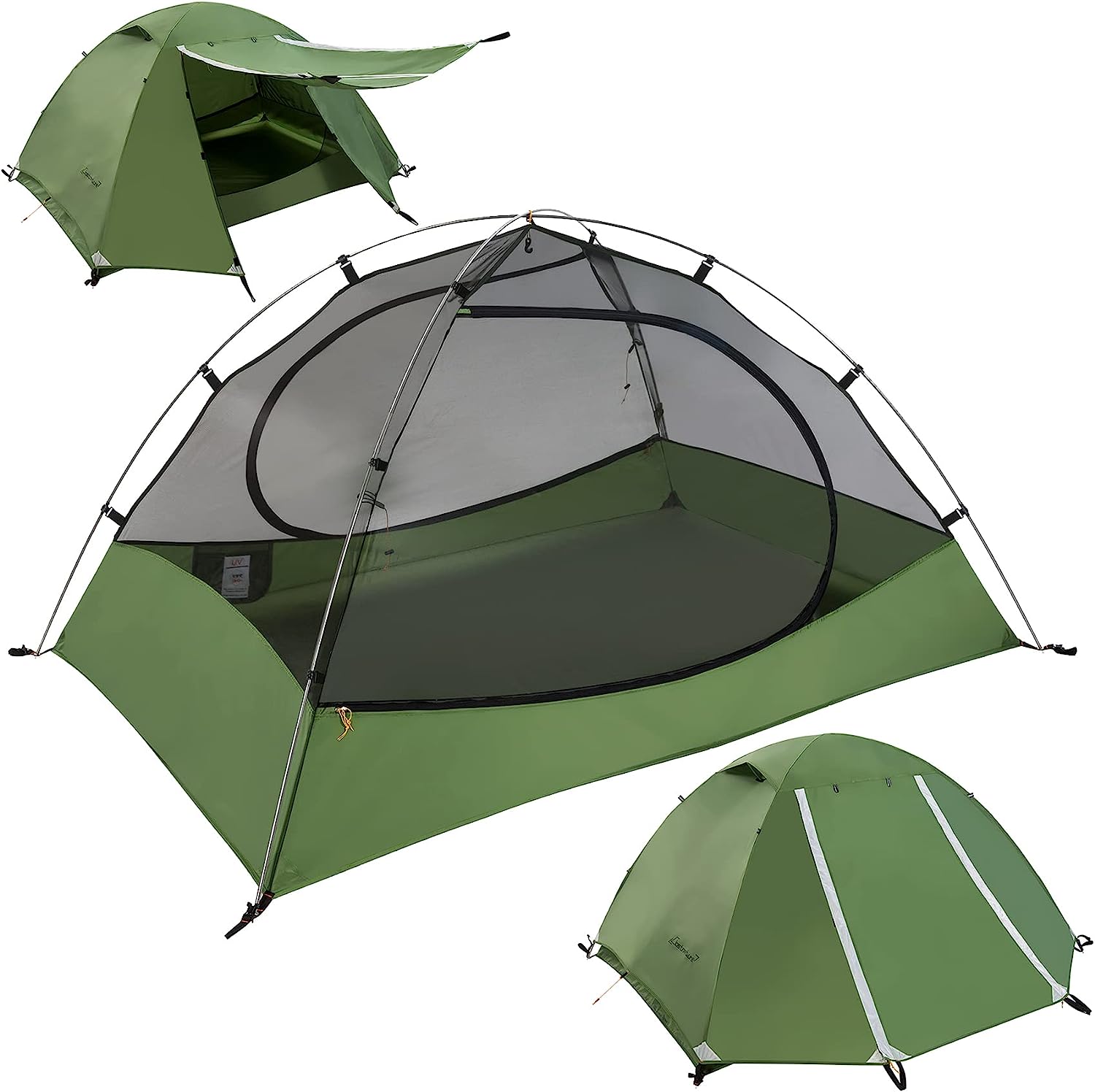
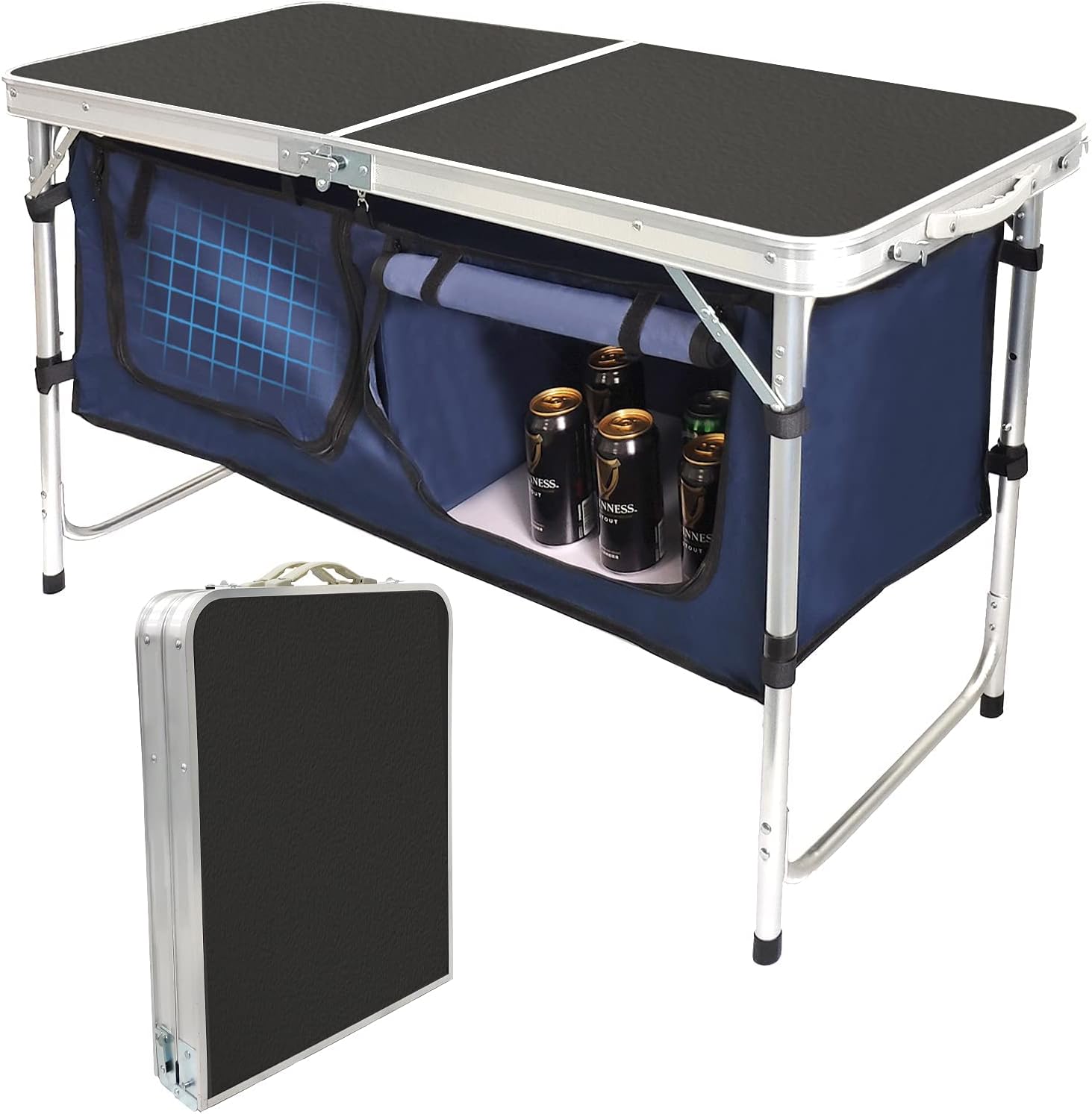
Gear We Used



Must-Do Activities
Hike to Hickman Bridge
One of the must-do activities at Capitol Reef is hiking the Hickman Bridge Trail, a relatively short, 2-mile round-trip hike that leads to one of the park’s most iconic natural arches. The hike offers stunning views of the surrounding desert landscape and a close-up view of the 133-foot arch. It’s an accessible trail for most visitors and provides a rewarding experience with spectacular photo opportunities. Whether you’re a casual hiker or an avid adventurer, this trail is a great way to experience Capitol Reef’s unique geology.
Drive the Capitol Reef Scenic Drive
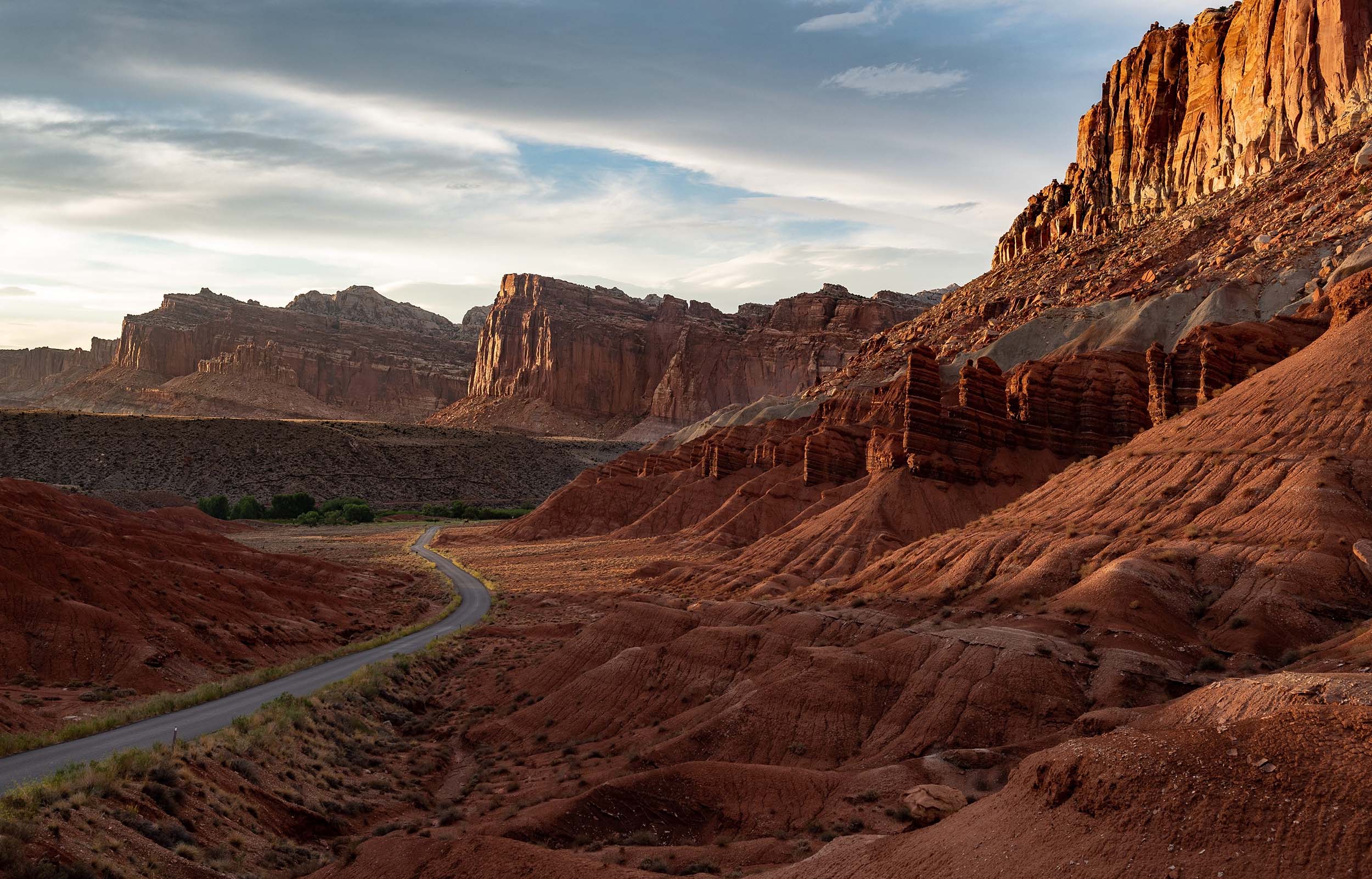
A drive along the Capitol Reef Scenic Drive is a fantastic way to take in the park’s breathtaking scenery. The 7.9-mile paved route takes you through the heart of the park, with several pull-offs to explore, such as the Petroglyph Panel and the Goosenecks Overlook. This drive offers fantastic views of the park’s colorful rock formations, the Waterpocket Fold, and the Fremont River. You can easily access short hikes and overlooks along the route, making it a great way to see the diverse landscapes if you’re short on time or prefer a leisurely tour.
Explore the Fruita Historic District
Capitol Reef National Park History
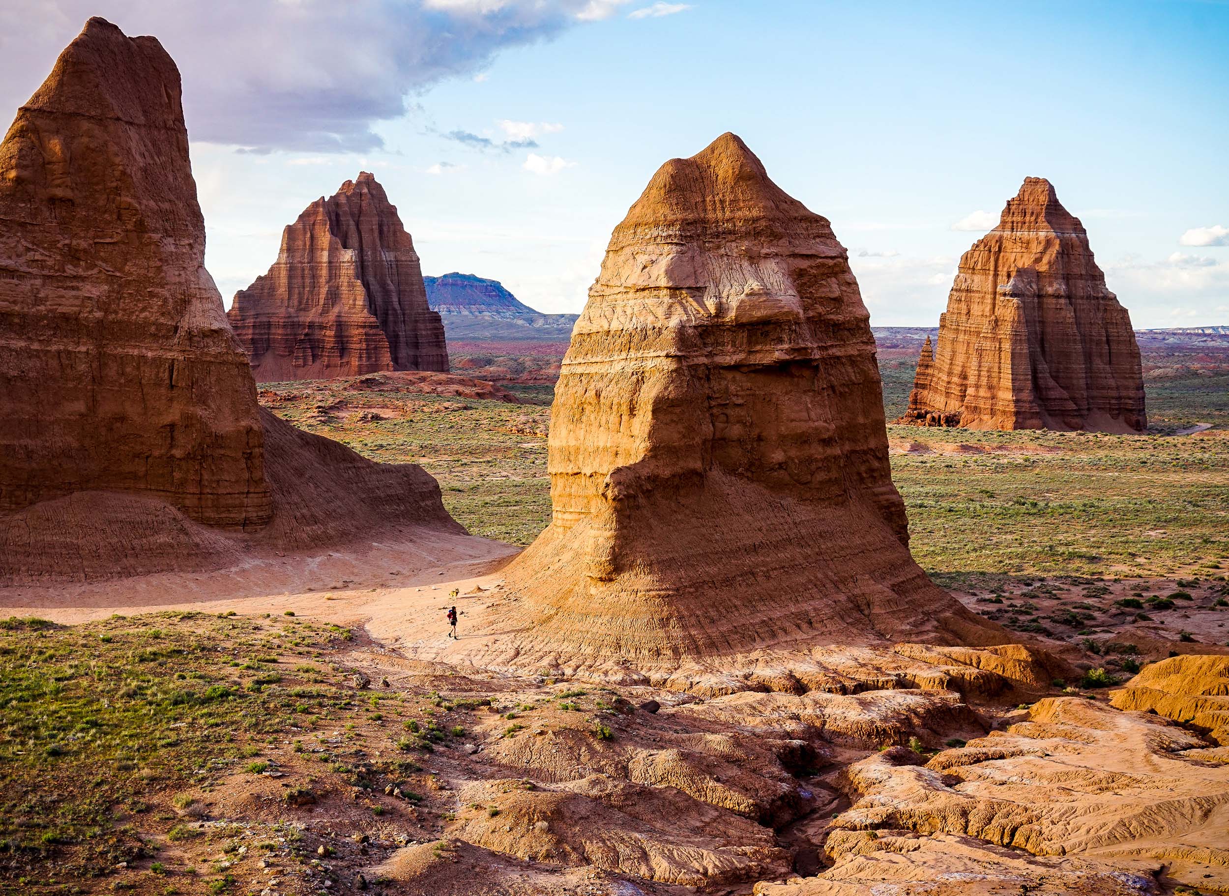
The history of Capitol Reef National Park is deeply rooted in both natural and human heritage. The park’s name is derived from its striking, dome-shaped rock formations, which resemble the domed rooftops of government buildings, or “capitols.” These formations are part of the Waterpocket Fold, a major geological feature created by tectonic movements over millions of years. The fold is the result of the Earth’s crust shifting, creating the dramatic cliffs, canyons, and valleys that define the park’s landscape. The geological history of Capitol Reef spans over 300 million years, with layers of sedimentary rock revealing a history of ancient seas, deserts, and mountains. This geological richness makes Capitol Reef a significant location for scientists studying Earth’s natural history.
Humans have also played a significant role in the history of Capitol Reef, with evidence of Native American presence dating back thousands of years. The Fremont people, who lived in the area from about 600 to 1300 AD, left behind rock art in the form of petroglyphs, which can still be seen in various locations within the park. These petroglyphs provide insight into the lives and beliefs of these early inhabitants. In the 1800s, Mormon pioneers, led by Ephraim Hanks, established a settlement in the area and founded the community of Fruita. The settlers introduced farming to the region and planted orchards that continue to thrive today, providing fruit for visitors in the harvest seasons.
